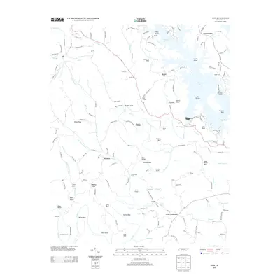
2013 Map of Lois
USGS Topo · Published 2013About this map
The Elk River carves a winding path through this corner of Franklin County, defining a landscape of dramatic bends and river islands like Smith Island and Parks Island. By the early 21st century, the northern reach of the map is dominated by the sprawling fingers of Tims Ford Lake, which created distinctive features such as The Narrows and flooded several former hollows. The settlement pattern remains largely rural, anchored by small communities such as Lois, Beech Hill, and Lexie.
Find a feature on this map
164 named features on this map. Tap any name to fly to it.
Don’t see what you’re looking for? This feature index may not catch every label — zoom into the map to look around manually.
Map Details
Editions of this 2013 Lois Map
This is the sole edition of this map. No revisions or reprints were ever made.
Other maps of this area

1928 · Decherd
USGS Topo · 1:62,500

1936 · Booneville
USGS Topo · 1:24,000

1936 · Flintville
USGS Topo · 1:24,000

1936 · Cumberland Springs
USGS Topo · 1:24,000

1936 · Beans Creek
USGS Topo · 1:24,000

1936 · Huntland
USGS Topo · 1:24,000

1936 · Belvidere
USGS Topo · 1:24,000

1936 · Mulberry
USGS Topo · 1:24,000

1936 · Camp Peay
USGS Topo · 1:24,000

1936 · Lois
USGS Topo · 1:24,000