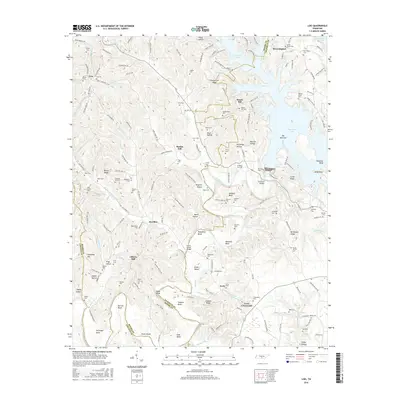
2016 Map of Lois
USGS Topo · Published 2016About this map
Tims Ford Lake dominates the northeastern landscape of this area, where the impounded waters reach into the valleys of Anderson Br and Damron Br at The Narrows. The rugged terrain of the Tennessee Highland Rim is etched by the Elk River as it winds through Wakefield Bend and Vanzant Bend. High ridges like Spencer Ridge and Reston Ridge separate the numerous hollows and creek beds, including Wet Prong Farris Cr and Goose Br.
Find a feature on this map
174 named features on this map. Tap any name to fly to it.
Don’t see what you’re looking for? This feature index may not catch every label — zoom into the map to look around manually.
Map Details
Editions of this 2016 Lois Map
This is the sole edition of this map. No revisions or reprints were ever made.
Other maps of this area

1928 · Decherd
USGS Topo · 1:62,500

1936 · Booneville
USGS Topo · 1:24,000

1936 · Flintville
USGS Topo · 1:24,000

1936 · Cumberland Springs
USGS Topo · 1:24,000

1936 · Beans Creek
USGS Topo · 1:24,000

1936 · Huntland
USGS Topo · 1:24,000

1936 · Belvidere
USGS Topo · 1:24,000

1936 · Mulberry
USGS Topo · 1:24,000

1936 · Camp Peay
USGS Topo · 1:24,000

1936 · Lois
USGS Topo · 1:24,000