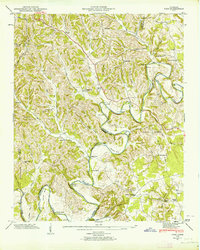
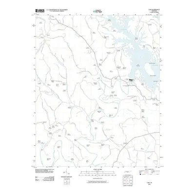
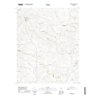
1947 Map of Lois
USGS Topo · Published 1964About this map
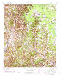
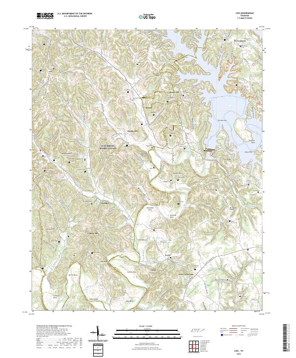
The Elk River winds through the heart of this post-war landscape, carving a series of dramatic bends including Sullenger Bend, Derrick Bend, and Wiseman Bend. The topography is dominated by family-named ridges and hollows, such as Possumtrot Ridge and Damron Hollow, reflecting the deeply rooted rural community of the era. Numerous small settlements and crossroads define the social geography, notably Lois, Marble Hill, and Lexie Crossroads. Local life is further evidenced by a high density of small churches and schools, including Brandon Chapel and Davis Sch, along with many family burial grounds like Waggoner Cem and Cobble Cem. The river's influence is clear through the numerous crossings and islands identified, such as Stiles Ford and Pats Island, which were essential for local navigation before modern infrastructure transformed the valley's connectivity.
Find a feature on this map
89 named features on this map. Tap any name to fly to it.
Don’t see what you’re looking for? This feature index may not catch every label — zoom into the map to look around manually.
Map Details
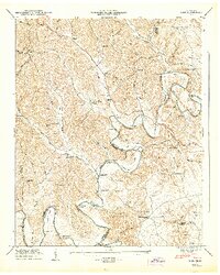
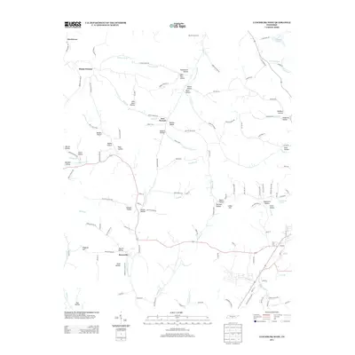
Editions of this 1947 Lois Map
2 editions found
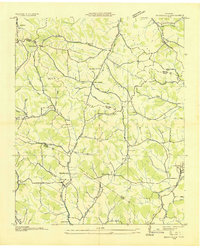
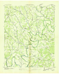
Historical Maps of Lynchburg Through Time
24 maps found
1936 Booneville
Moore County, TN

1936 Cumberland Springs
Moore County, TN
1936 Lois
Moore County, TN
1941 Cumberland Springs
Moore County, TN
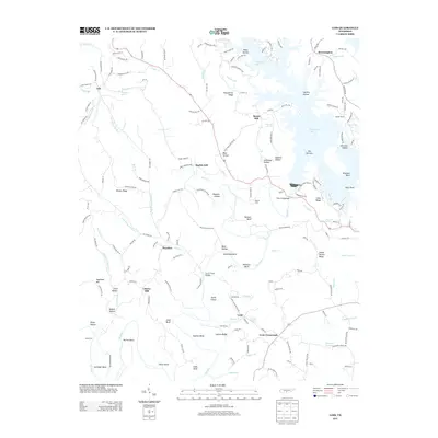
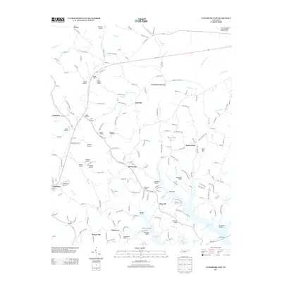
1947 Lois
Moore County, TN

1949 Lynchburg West
Moore County, TN
1951 Booneville
Moore County, TN
1972 Lois
Moore County, TN
1978 Lynchburg East
Moore County, TN
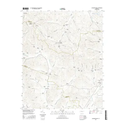
2010 Lois
Moore County, TN
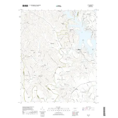
2010 Lynchburg East
Moore County, TN
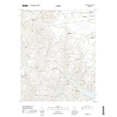
2010 Lynchburg West
Moore County, TN
2013 Lois
Moore County, TN
2013 Lynchburg East
Moore County, TN
2013 Lynchburg West
Moore County, TN
2016 Lois
Moore County, TN
2016 Lynchburg East
Moore County, TN
2016 Lynchburg West
Moore County, TN
2019 Lois
Moore County, TN
2019 Lynchburg East
Moore County, TN
2019 Lynchburg West
Moore County, TN
2022 Lois
Moore County, TN

2022 Lynchburg East
Moore County, TN
2022 Lynchburg West
Moore County, TN