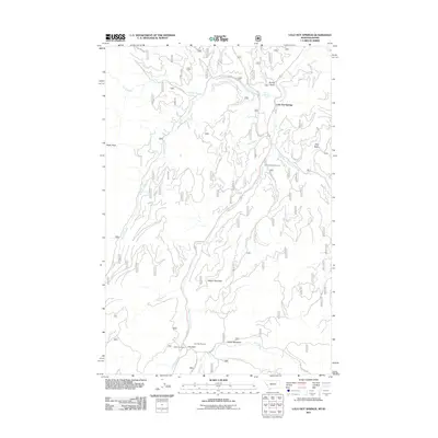
2011 Map of Lolo Hot Springs
USGS Topo · Published 2011About this map
Lolo Hot Springs anchors this high-elevation landscape along the Bitterroot Range, where the West Fork and East Fork Lolo Creek converge. The terrain is defined by steep ridges and alpine clearings, including Packer Meadows and the heights of Wagon Mountain. At the southern edge, Lolo Pass serves as a critical mountain gateway, marked by the presence of the State Line Cabin and the Lolo Pass Ski Area. Local recreation and forest management are evident through features like Lee Creek Campground and numerous forest service routes such as Lee Creek Rd and Sally Basin Rd. Water sources are plentiful, from the Waterfall Snowshoe Falls to small tributaries like Granite Springs and Powell Creek, highlighting the region's complex hydrology and importance as a natural drainage basin.
Find a feature on this map
27 named features on this map. Tap any name to fly to it.
Don’t see what you’re looking for? This feature index may not catch every label — zoom into the map to look around manually.
Map Details
Editions of this 2011 Lolo Hot Springs Map
This is the sole edition of this map. No revisions or reprints were ever made.
Other maps of this area

1911 · Lolo
USGS Topo · 1:250,000

1912 · Missoula
USGS Topo · 1:125,000

1913 · Lolo
USGS Topo · 1:250,000

1956 · Hamilton
USGS Topo · 1:250,000

1959 · Hamilton
USGS Topo · 1:250,000

1960 · Hamilton
USGS Topo · 1:250,000

1964 · Hamilton
USGS Topo · 1:250,000

1964 · Lolo Hot Springs
USGS Topo · 1:24,000

1964 · Garden Point
USGS Topo · 1:24,000

1964 · West Fork Butte
USGS Topo · 1:24,000