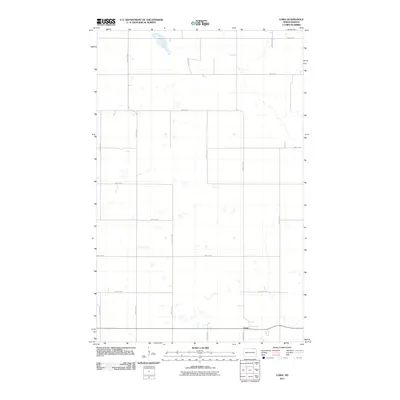
2011 Map of Loma
USGS Topo · Published 2011About this map
Loma sits at the southern edge of this Cavalier County landscape, serving as the primary hub for a vast grid of agricultural section lines and rural transport routes. The settlement's orientation is anchored by the intersection of local thoroughfares such as 85th St NE and 94th Ave NE, illustrating the highly organized township-and-range surveying system characteristic of the North Dakota plains. Beyond the small concentration of structures in Loma, the landscape is defined by the repetitive geometric patterns of county roads, including County Hwy 17 and 99th Ave NE. Small, scattered wetlands and depressions are peppered throughout the sections, providing a natural contrast to the rigid human-made infrastructure. This map documents the rural character and essential infrastructure of the region during the early twenty-first century.
Find a feature on this map
16 named features on this map. Tap any name to fly to it.
Don’t see what you’re looking for? This feature index may not catch every label — zoom into the map to look around manually.
Map Details
Editions of this 2011 Loma Map
This is the sole edition of this map. No revisions or reprints were ever made.
Other maps of this area

1953 · Devils Lake
USGS Topo · 1:250,000

1956 · Devils Lake
USGS Topo · 1:250,000

1970 · Alsen
USGS Topo · 1:24,000

1970 · Hannah SW
USGS Topo · 1:24,000

1970 · Loma
USGS Topo · 1:24,000

1970 · Alsen SE
USGS Topo · 1:24,000

1970 · Hannah SE
USGS Topo · 1:24,000

1970 · Hampden
USGS Topo · 1:24,000

1970 · Langdon West
USGS Topo · 1:24,000

1972 · Billings Lake
USGS Topo · 1:24,000