
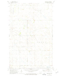
1972 Map of Billings Lake
USGS Topo · Published 1975About this map
Billings Lake National Wildlife Refuge anchors the northwestern corner of this prairie landscape, where the waters of Billings Lake provide critical habitat within the larger National Waterfowl Production Area. The terrain is defined by the crossing of the Soo Line railroad, which links the small grain-elevator settlements of Loma and Nekoma across the flat expanse of the Cavalier and Ramsey county line.
Find a feature on this map
16 named features on this map. Tap any name to fly to it.
Don’t see what you’re looking for? This feature index may not catch every label — zoom into the map to look around manually.
Map Details
Editions of this 1972 Billings Lake Map
This is the sole edition of this map. No revisions or reprints were ever made.
Other maps of this area

1953 · Devils Lake
USGS Topo · 1:250,000

1956 · Devils Lake
USGS Topo · 1:250,000

1970 · Loma
USGS Topo · 1:24,000

1970 · Alsen SE
USGS Topo · 1:24,000

1972 · Derrick
USGS Topo · 1:24,000

1972 · Nekoma
USGS Topo · 1:24,000

1972 · Easby
USGS Topo · 1:24,000

1972 · Edmore
USGS Topo · 1:24,000

1972 · Edmore NE
USGS Topo · 1:24,000
1972 · Nekoma NW
USGS Topo · 1:24,000