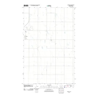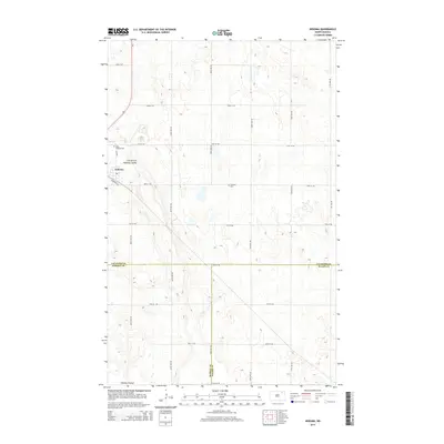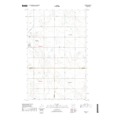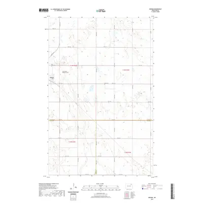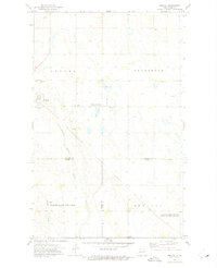
1972 Map of Nekoma
USGS Topo · Published 1975About this map
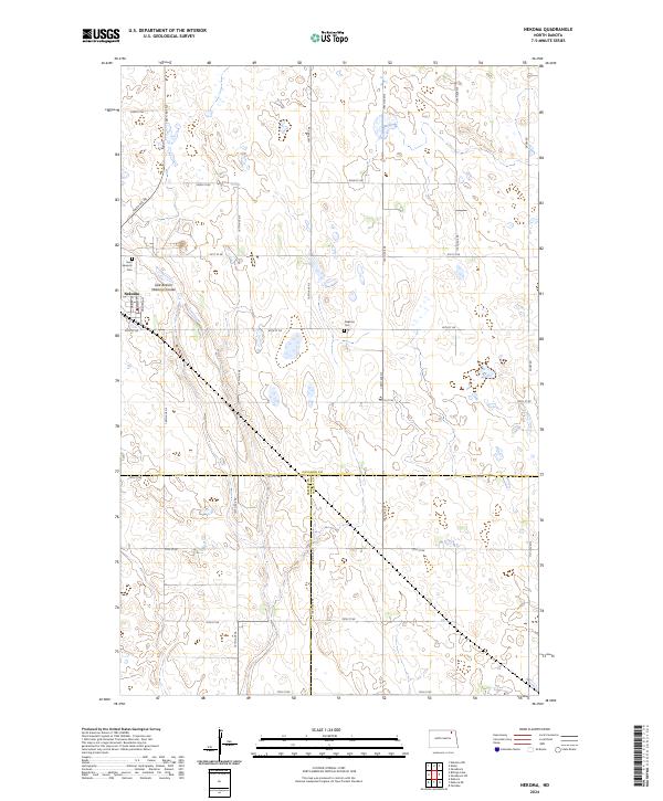
Nekoma serves as the primary hub in this early 1970s survey of the North Dakota plains, situated where the grain-growing plateaus of Cavalier County meet the drainage of the Nekoma Coulee. This prairie landscape is defined by its agricultural layout and conservation areas, notably the National Waterfowl Production Areas and the Fairdale Slough National Waterfowl Production Area, which protect the region’s vital wetlands. Local genealogy and settlement history are grounded in several landmarks, including the St Edwards Cem, Nekoma Cem, and the rural Highland Ch located near Highland Center. The mapping also highlights the hydrological network of the East Branch Nekoma Coulee, illustrating the natural drainage patterns that have shaped farming and settlement in Kinloss and Osnabrock townships.
Find a feature on this map
18 named features on this map. Tap any name to fly to it.
Don’t see what you’re looking for? This feature index may not catch every label — zoom into the map to look around manually.
Map Details
Editions of this 1972 Nekoma Map
This is the sole edition of this map. No revisions or reprints were ever made.
Historical Maps of Nekoma Through Time
6 maps found