
1972 Map of Osnabrock
USGS Topo · Published 1974About this map
Osnabrock serves as the primary hub of this Cavalier County landscape, situated at the intersection of a local rail line and rural roads. The town's grid is clearly defined, featuring a Sewage Disposal Pond and the nearby Union Cem to the south. The region is predominantly agricultural, divided into townships such as Alma, Hay, and Easby, which reflect the early administrative organization of North Dakota's prairie.
Find a feature on this map
15 named features on this map. Tap any name to fly to it.
Don’t see what you’re looking for? This feature index may not catch every label — zoom into the map to look around manually.
Map Details
Editions of this 1972 Osnabrock Map
This is the sole edition of this map. No revisions or reprints were ever made.
Other maps of this area

1953 · Devils Lake
USGS Topo · 1:250,000

1956 · Devils Lake
USGS Topo · 1:250,000

1967 · Langdon East
USGS Topo · 1:24,000

1969 · Olga SW
USGS Topo · 1:24,000

1972 · Nekoma
USGS Topo · 1:24,000

1972 · Easby
USGS Topo · 1:24,000
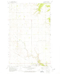
1972 · Milton
USGS Topo · 1:24,000

1972 · Osnabrock SW
USGS Topo · 1:24,000
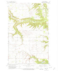
1972 · Olga
USGS Topo · 1:24,000
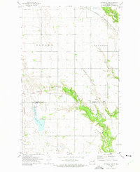
1972 · Waterloo Lake
USGS Topo · 1:24,000