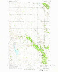
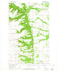
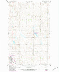
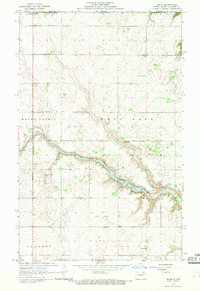
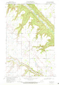
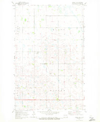
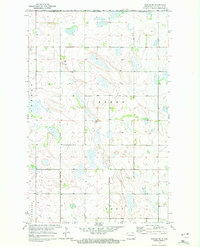
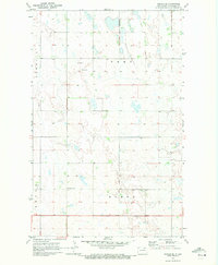
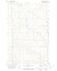
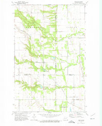
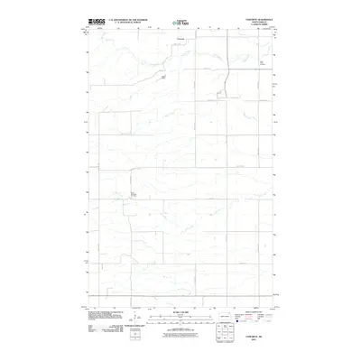
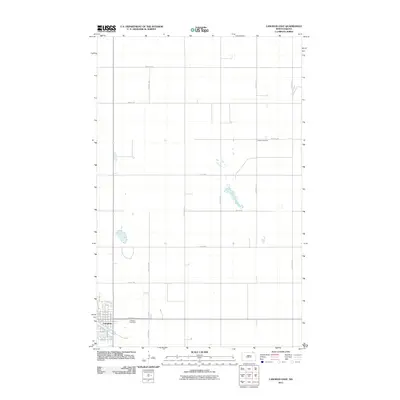
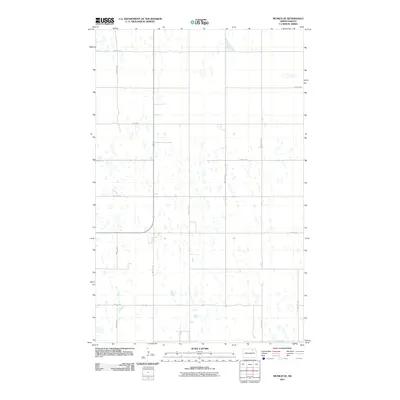
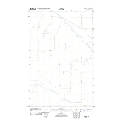
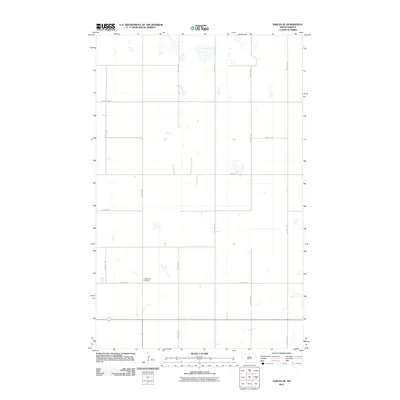
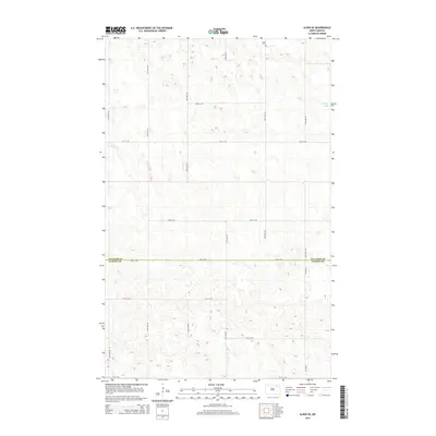
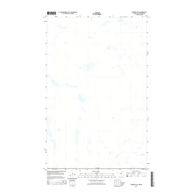
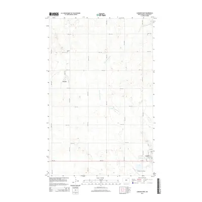
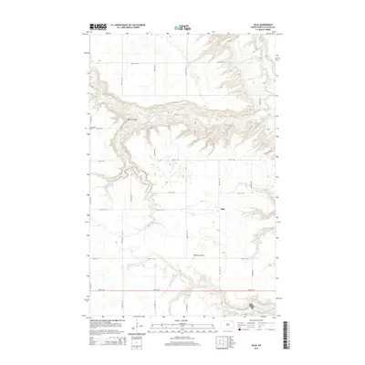
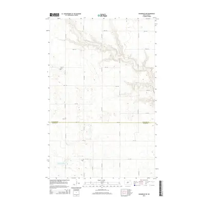
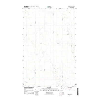
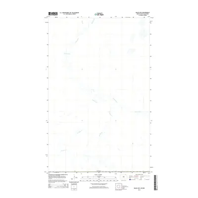
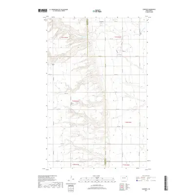
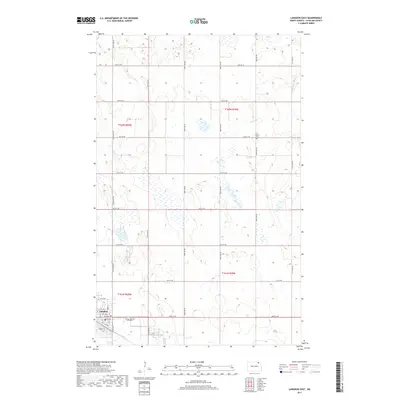
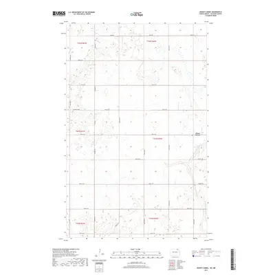
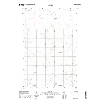
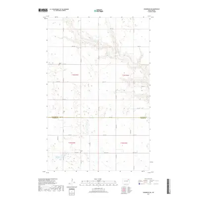
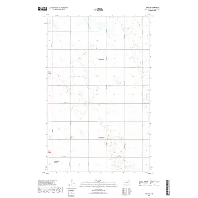
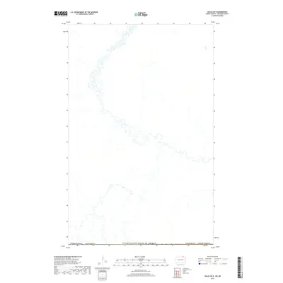
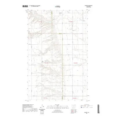
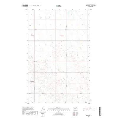
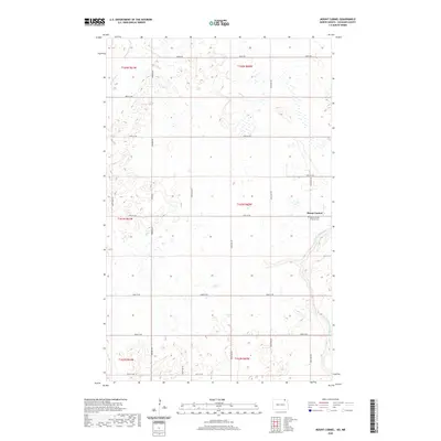
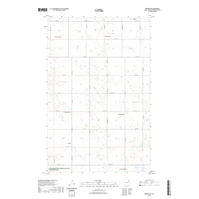
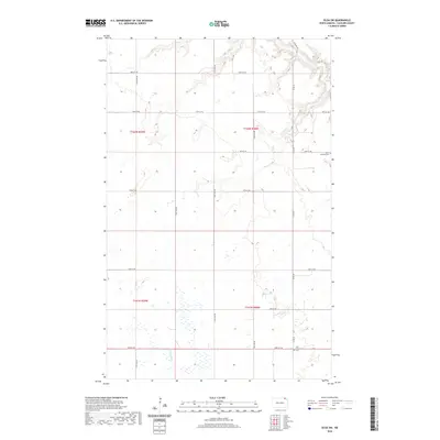
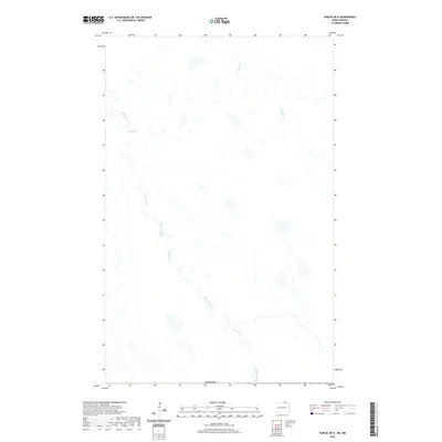
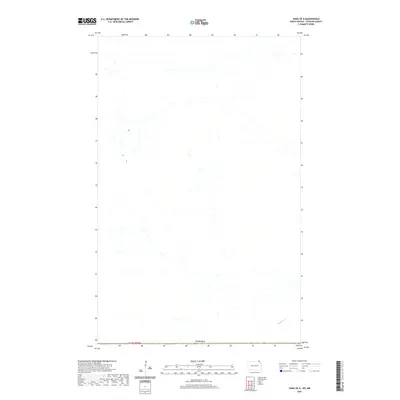
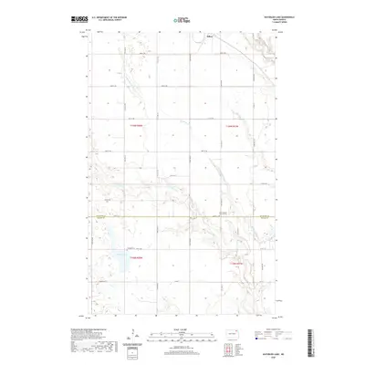
1972 Map of Waterloo Lake
USGS Topo · Published 1975About this map
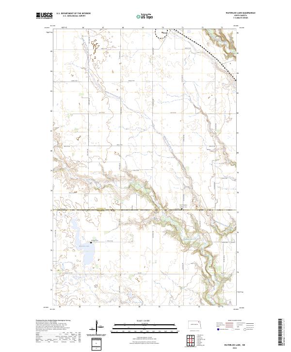
Waterloo Lake and its surrounding wetlands serve as a central feature of this 1970s landscape on the border of Cavalier and Walsh counties. Much of the western terrain is protected as a National Waterfowl Production Area, reflecting a region dedicated to conservation alongside agriculture. The town of Milton occupies the northern edge, situated along the Burlington Northern railroad corridor.
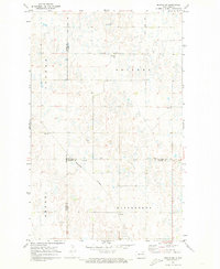
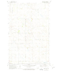
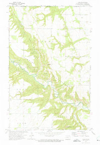
Find a feature on this map
19 named features on this map. Tap any name to fly to it.
Don’t see what you’re looking for? This feature index may not catch every label — zoom into the map to look around manually.
Map Details
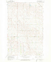
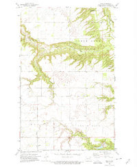
Editions of this 1972 Waterloo Lake Map
This is the sole edition of this map. No revisions or reprints were ever made.
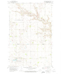
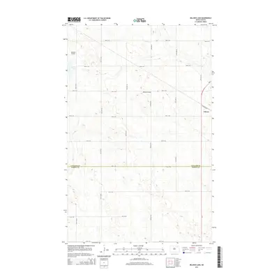
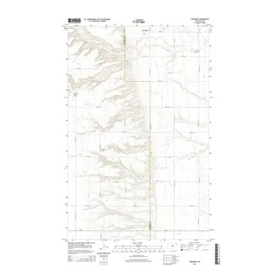
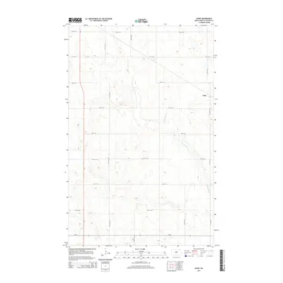
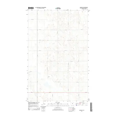
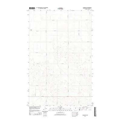
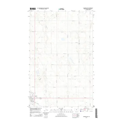
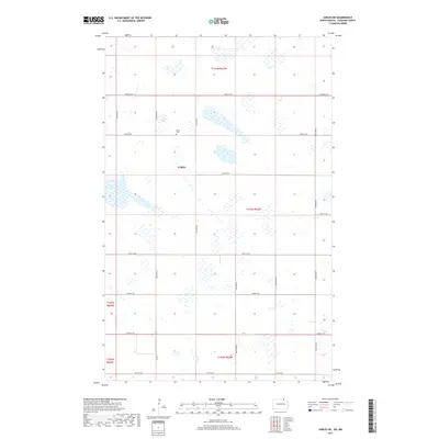
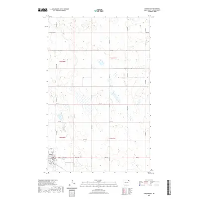
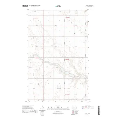
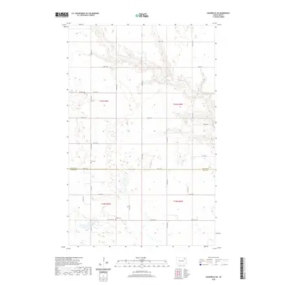
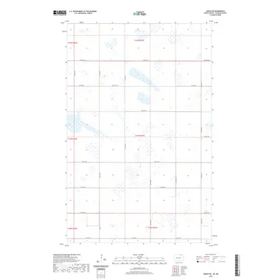
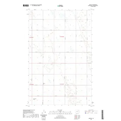
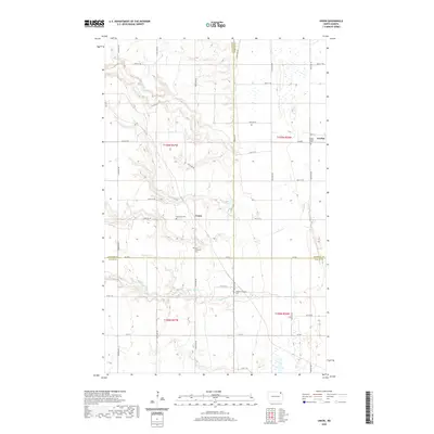
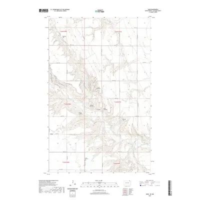
Historical Maps of Milton Through Time
164 maps found
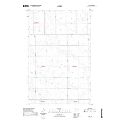
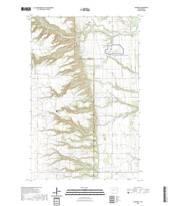
1964 Concrete
Cavalier County, ND
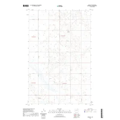
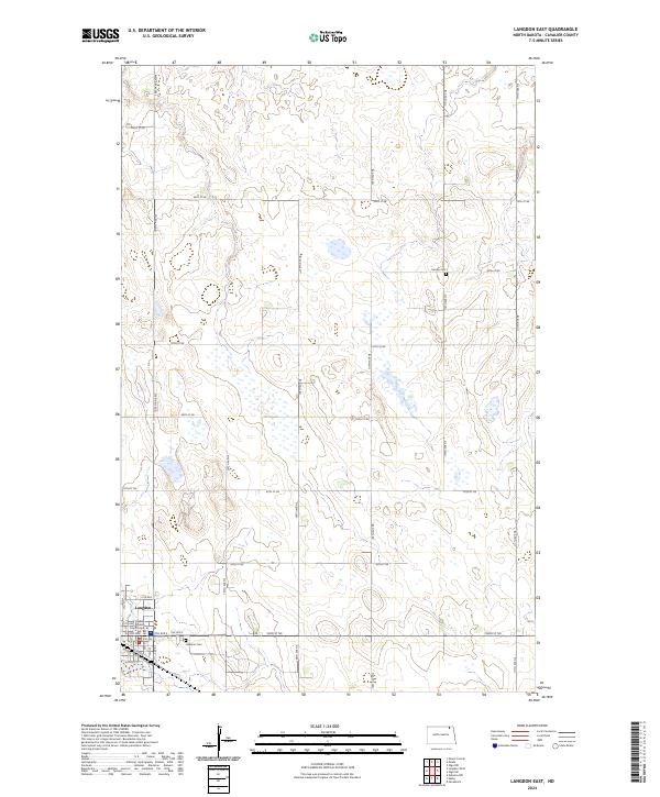
1967 Langdon East
Cavalier County, ND
1967 Maida
Cavalier County, ND
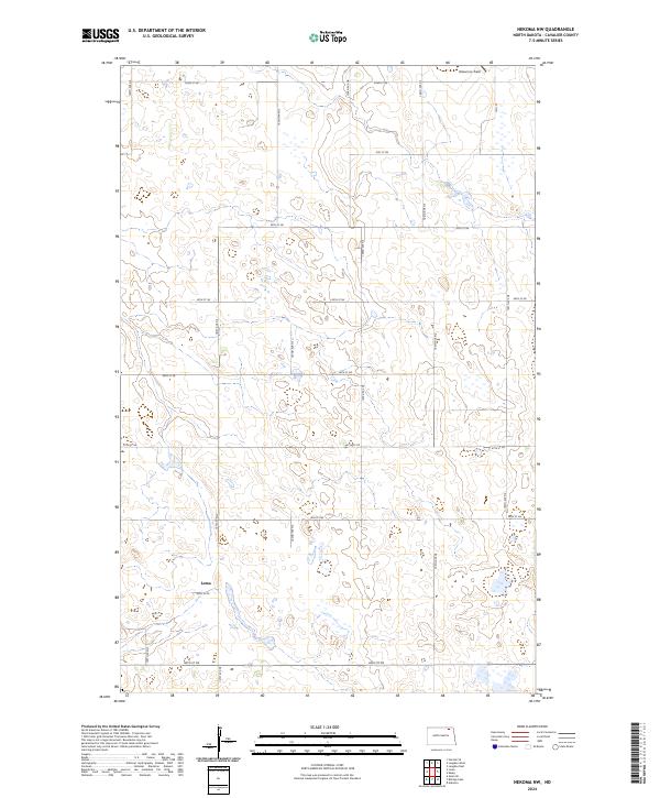
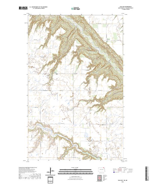
1969 Olga NW
Cavalier County, ND
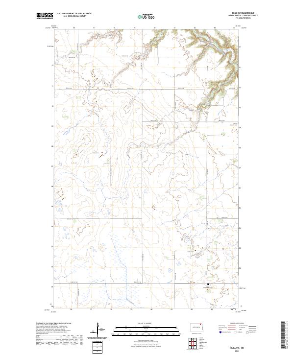
1969 Olga SW
Cavalier County, ND
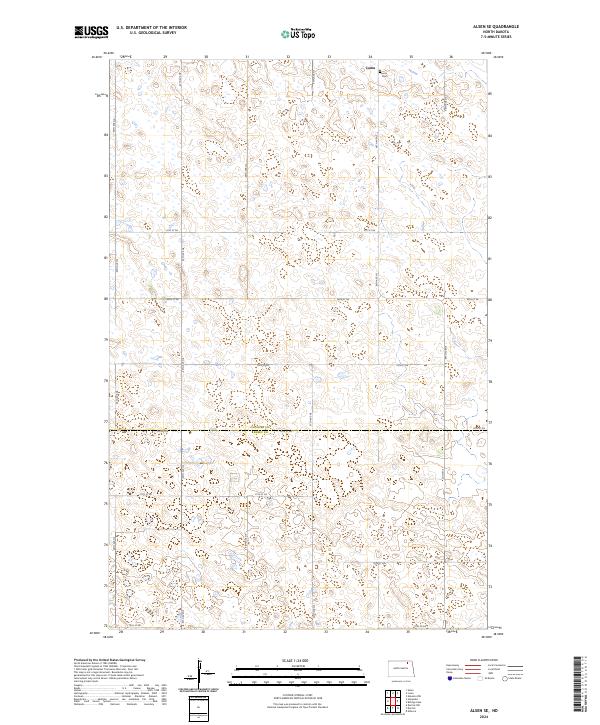
1970 Alsen SE
Cavalier County, ND
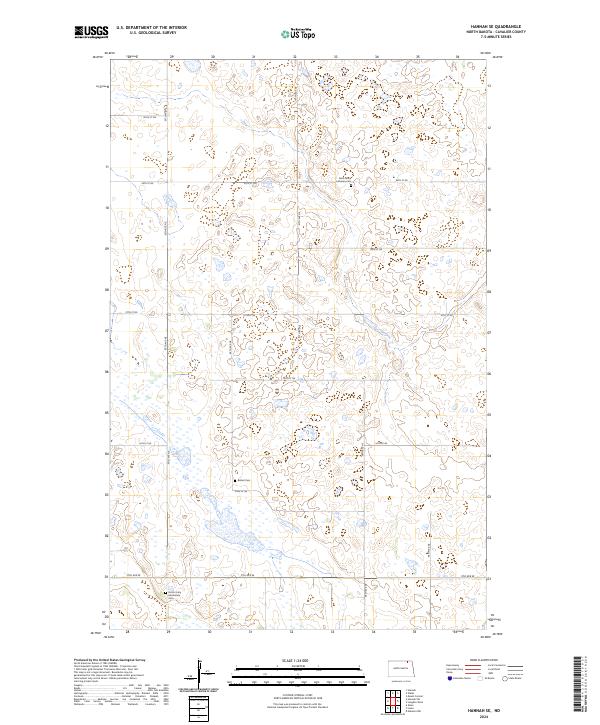
1970 Hannah SE
Cavalier County, ND
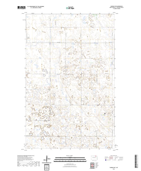
1970 Hannah SW
Cavalier County, ND
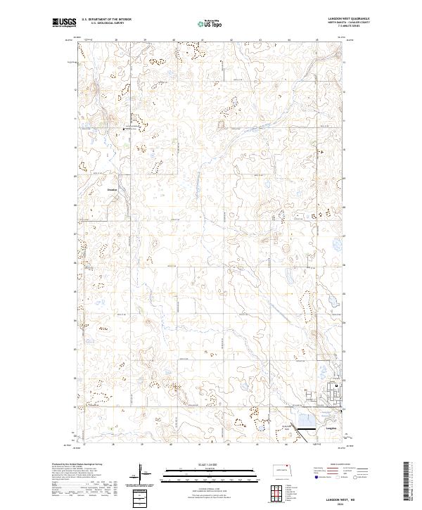
1970 Langdon West
Cavalier County, ND
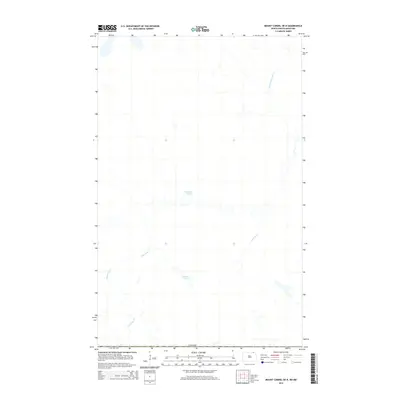
1970 Mount Carmel
Cavalier County, ND
1970 Sarles NE
Cavalier County, ND
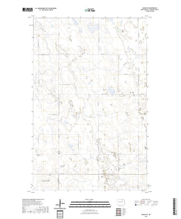
1970 Sarles SE
Cavalier County, ND
1971 Munich SE
Cavalier County, ND
1971 Munich SW
Cavalier County, ND
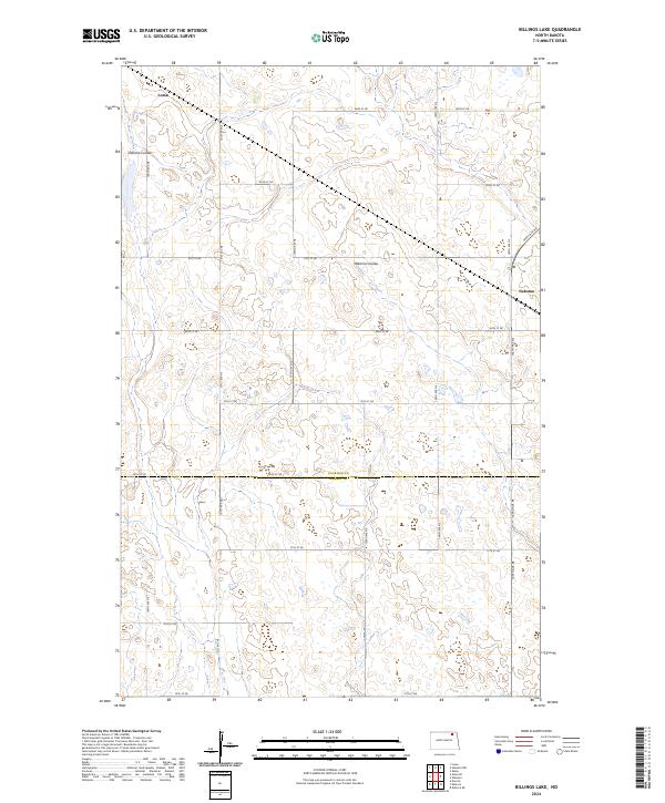
1972 Billings Lake
Cavalier County, ND
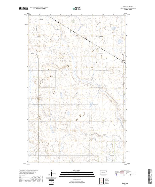
1972 Easby
Cavalier County, ND
1972 Nekoma NW
Cavalier County, ND
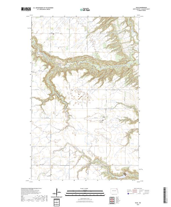
1972 Olga
Cavalier County, ND
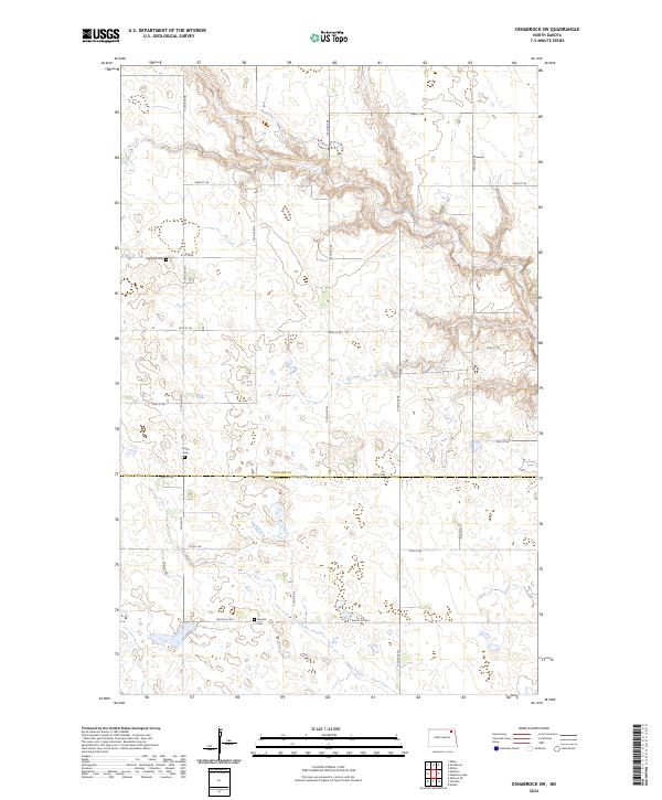
1972 Osnabrock SW
Cavalier County, ND
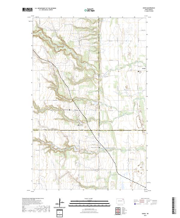
1972 Union
Cavalier County, ND
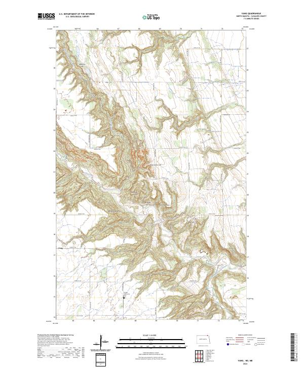
1972 Vang
Cavalier County, ND
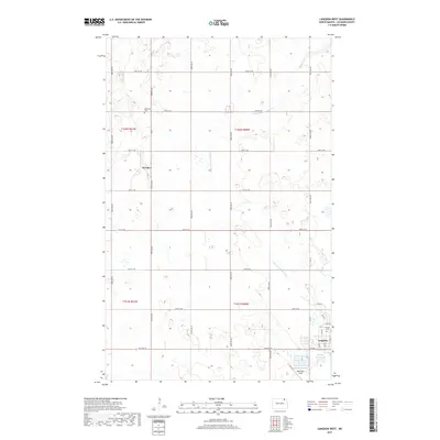
1972 Waterloo Lake
Cavalier County, ND
2011 Alsen SE
Cavalier County, ND
2011 Billings Lake
Cavalier County, ND
2011 Concrete
Cavalier County, ND
2011 Easby
Cavalier County, ND
2011 Hannah SE
Cavalier County, ND
2011 Hannah SW
Cavalier County, ND
2011 Langdon East
Cavalier County, ND
2011 Langdon West
Cavalier County, ND
2011 Maida
Cavalier County, ND
2011 Mount Carmel
Cavalier County, ND
2011 Munich SE
Cavalier County, ND
2011 Munich SW
Cavalier County, ND
2011 Nekoma NW
Cavalier County, ND
2011 Olga
Cavalier County, ND
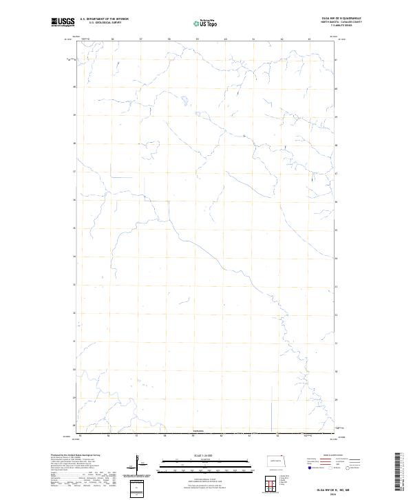
2011 Olga NW
Cavalier County, ND
2011 Olga SW
Cavalier County, ND
2011 Osnabrock SW
Cavalier County, ND
2011 Sarles NE
Cavalier County, ND
2011 Sarles SE
Cavalier County, ND
2011 Union
Cavalier County, ND
2011 Vang
Cavalier County, ND
2011 Waterloo Lake
Cavalier County, ND
2014 Alsen SE
Cavalier County, ND
2014 Billings Lake
Cavalier County, ND
2014 Concrete
Cavalier County, ND
2014 Easby
Cavalier County, ND
2014 Hannah OE N
Cavalier County, ND
2014 Hannah SE
Cavalier County, ND
2014 Hannah SW
Cavalier County, ND
2014 Langdon East
Cavalier County, ND
2014 Langdon West
Cavalier County, ND
2014 Maida
Cavalier County, ND
2014 Maida OE N
Cavalier County, ND
2014 Mount Carmel
Cavalier County, ND
2014 Mount Carmel OE N
Cavalier County, ND
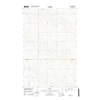
2014 Munich SE
Cavalier County, ND
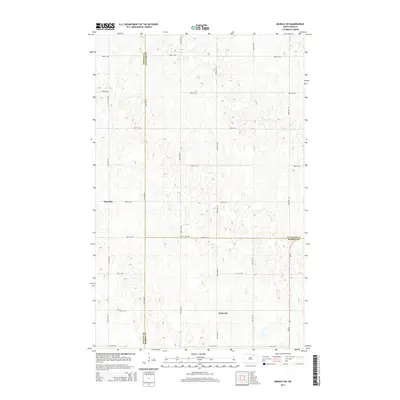
2014 Munich SW
Cavalier County, ND
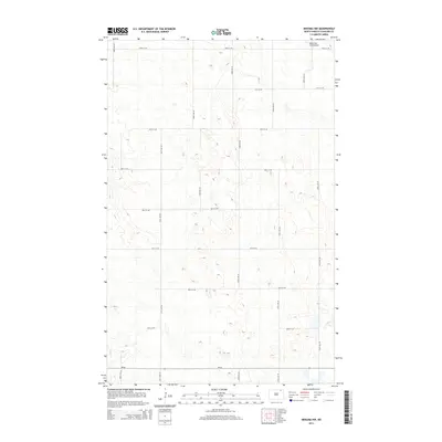
2014 Nekoma NW
Cavalier County, ND
2014 Olga
Cavalier County, ND
2014 Olga NW
Cavalier County, ND
2014 Olga NW OE N
Cavalier County, ND
2014 Olga SW
Cavalier County, ND
2014 Osnabrock SW
Cavalier County, ND
2014 Sarles NE
Cavalier County, ND
2014 Sarles NE OE N
Cavalier County, ND
2014 Sarles OE N
Cavalier County, ND
2014 Sarles SE
Cavalier County, ND
2014 Union
Cavalier County, ND
2014 Vang
Cavalier County, ND
2014 Vang OE N
Cavalier County, ND
2014 Wales OE N
Cavalier County, ND
2014 Waterloo Lake
Cavalier County, ND
2017 Alsen SE
Cavalier County, ND
2017 Billings Lake
Cavalier County, ND
2017 Concrete
Cavalier County, ND
2017 Easby
Cavalier County, ND

2017 Hannah OE N
Cavalier County, ND
2017 Hannah SE
Cavalier County, ND
2017 Hannah SW
Cavalier County, ND
2017 Langdon East
Cavalier County, ND
2017 Langdon West
Cavalier County, ND
2017 Maida
Cavalier County, ND
2017 Maida OE N
Cavalier County, ND
2017 Mount Carmel
Cavalier County, ND
2017 Mount Carmel OE N
Cavalier County, ND
2017 Munich SE
Cavalier County, ND
2017 Munich SW
Cavalier County, ND
2017 Nekoma NW
Cavalier County, ND
2017 Olga
Cavalier County, ND

2017 Olga NW
Cavalier County, ND
2017 Olga NW OE N
Cavalier County, ND
2017 Olga SW
Cavalier County, ND
2017 Osnabrock SW
Cavalier County, ND
2017 Sarles NE
Cavalier County, ND
2017 Sarles NE OE N
Cavalier County, ND
2017 Sarles OE N
Cavalier County, ND
2017 Sarles SE
Cavalier County, ND
2017 Union
Cavalier County, ND
2017 Vang
Cavalier County, ND
2017 Vang OE N
Cavalier County, ND
2017 Wales OE N
Cavalier County, ND
2017 Waterloo Lake
Cavalier County, ND
2020 Alsen SE
Cavalier County, ND
2020 Billings Lake
Cavalier County, ND
2020 Concrete
Cavalier County, ND
2020 Easby
Cavalier County, ND
2020 Hannah OE N
Cavalier County, ND
2020 Hannah SE
Cavalier County, ND
2020 Hannah SW
Cavalier County, ND
2020 Langdon East
Cavalier County, ND

2020 Langdon West
Cavalier County, ND
2020 Maida
Cavalier County, ND
2020 Maida OE N
Cavalier County, ND
2020 Mount Carmel
Cavalier County, ND
2020 Mount Carmel OE N
Cavalier County, ND
2020 Munich SE
Cavalier County, ND
2020 Munich SW
Cavalier County, ND
2020 Nekoma NW
Cavalier County, ND
2020 Olga
Cavalier County, ND
2020 Olga NW
Cavalier County, ND
2020 Olga NW OE N
Cavalier County, ND
2020 Olga SW
Cavalier County, ND
2020 Osnabrock SW
Cavalier County, ND
2020 Sarles NE
Cavalier County, ND
2020 Sarles NE OE N
Cavalier County, ND
2020 Sarles OE N
Cavalier County, ND
2020 Sarles SE
Cavalier County, ND
2020 Union
Cavalier County, ND
2020 Vang
Cavalier County, ND
2020 Vang OE N
Cavalier County, ND
2020 Wales OE N
Cavalier County, ND
2020 Waterloo Lake
Cavalier County, ND
2024 Alsen SE
Cavalier County, ND
2024 Billings Lake
Cavalier County, ND
2024 Concrete
Cavalier County, ND
2024 Easby
Cavalier County, ND
2024 Hannah OE N
Cavalier County, ND
2024 Hannah SE
Cavalier County, ND
2024 Hannah SW
Cavalier County, ND
2024 Langdon East
Cavalier County, ND
2024 Langdon West
Cavalier County, ND
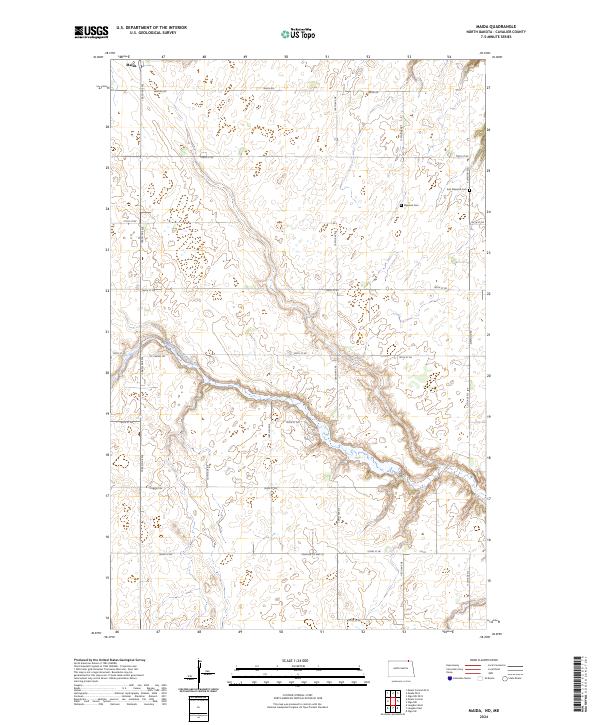
2024 Maida
Cavalier County, ND
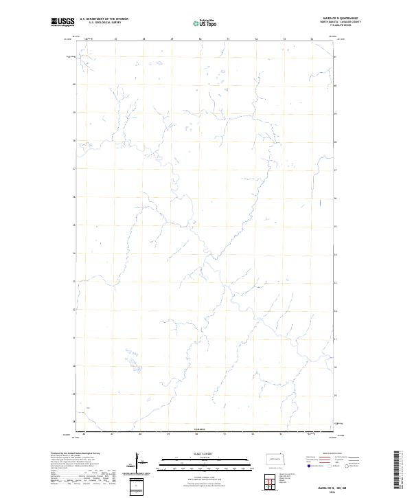
2024 Maida OE N
Cavalier County, ND
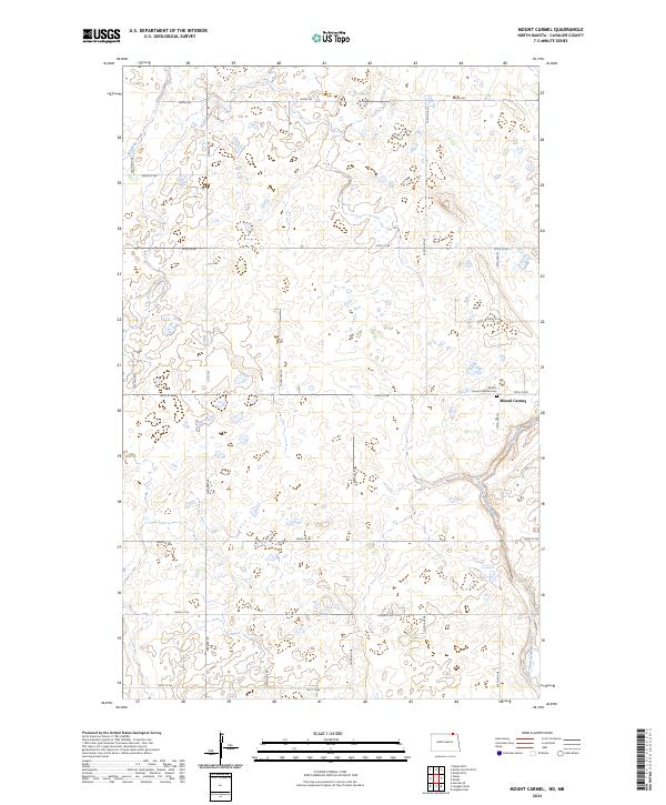
2024 Mount Carmel
Cavalier County, ND
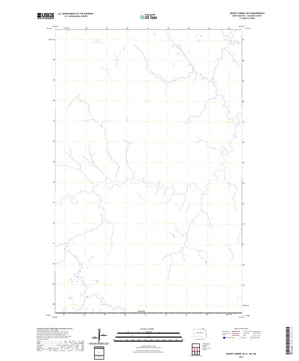
2024 Mount Carmel OE N
Cavalier County, ND
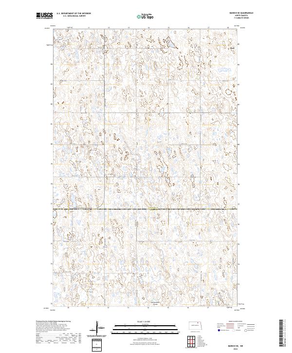
2024 Munich SE
Cavalier County, ND
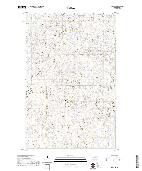
2024 Munich SW
Cavalier County, ND
2024 Nekoma NW
Cavalier County, ND
2024 Olga
Cavalier County, ND
2024 Olga NW
Cavalier County, ND
2024 Olga NW OE N
Cavalier County, ND
2024 Olga SW
Cavalier County, ND
2024 Osnabrock SW
Cavalier County, ND
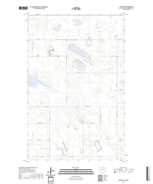
2024 Sarles NE
Cavalier County, ND
2024 Sarles NE OE N
Cavalier County, ND
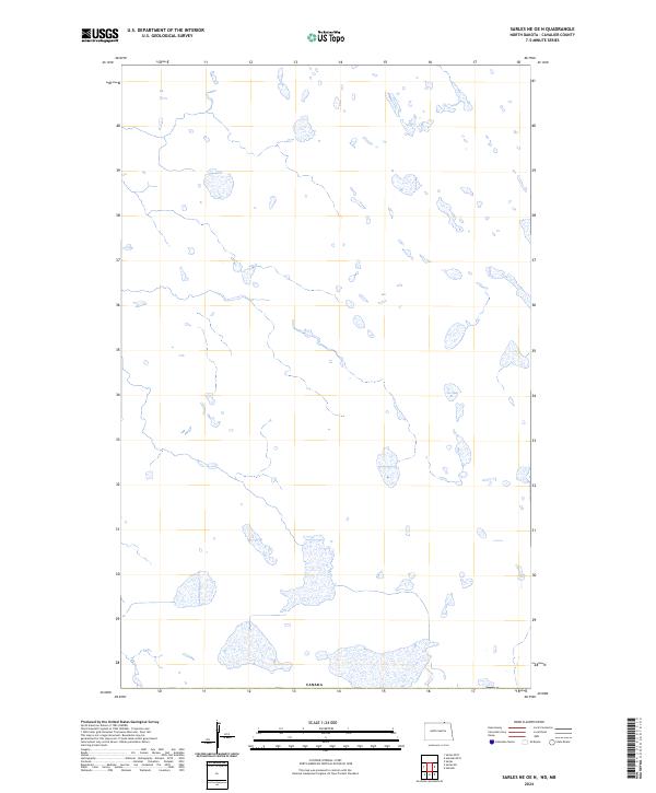
2024 Sarles OE N
Cavalier County, ND
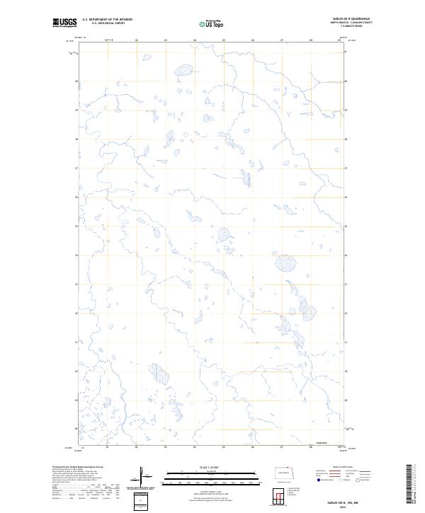
2024 Sarles SE
Cavalier County, ND
2024 Union
Cavalier County, ND
2024 Vang
Cavalier County, ND
2024 Vang OE N
Cavalier County, ND
2024 Wales OE N
Cavalier County, ND
2024 Waterloo Lake
Cavalier County, ND