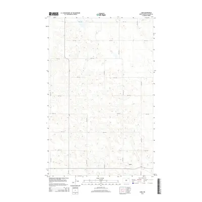
2014 Map of Loma
USGS Topo · Published 2014About this map
Loma is the primary settlement on this portion of the northern plains, situated at the intersection of Nd-66 and 98th Ave NE. The landscape is defined by a dense network of sectional roads and glacial topography, where numerous small depressions and potholes dot the terrain between the grid. This 2014 survey records the rural infrastructure of Cavalier County, showing how local thoroughfares like Cr-17 and 90th St Ne organize the agricultural space. The intricate contour lines illustrate the subtle variations in elevation that characterize this prairie environment, providing a clear view of the drainage patterns and land use at the start of the 2010s.
Find a feature on this map
17 named features on this map. Tap any name to fly to it.
Don’t see what you’re looking for? This feature index may not catch every label — zoom into the map to look around manually.
Map Details
Editions of this 2014 Loma Map
This is the sole edition of this map. No revisions or reprints were ever made.
Other maps of this area

1953 · Devils Lake
USGS Topo · 1:250,000

1956 · Devils Lake
USGS Topo · 1:250,000

1970 · Alsen
USGS Topo · 1:24,000

1970 · Hannah SW
USGS Topo · 1:24,000

1970 · Loma
USGS Topo · 1:24,000

1970 · Alsen SE
USGS Topo · 1:24,000

1970 · Hannah SE
USGS Topo · 1:24,000

1970 · Hampden
USGS Topo · 1:24,000

1970 · Langdon West
USGS Topo · 1:24,000

1972 · Billings Lake
USGS Topo · 1:24,000