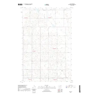
2017 Map of Loma
USGS Topo · Published 2017About this map
The small prairie settlement of Loma anchors the southeast corner of this survey in Cavalier County, where the landscape is defined by the rigid grid of the Public Land Survey System. The terrain is marked by a high density of small wetlands and depressions common to this region of North Dakota, creating a complex hydrologic pattern amidst the agricultural sections. In the northern reaches of the quadrangle, the Bethel Mennonite Cem serves as a significant local landmark for genealogists and historians tracing the Mennonite heritage of the area. A network of township roads, including Loma Rd and various numbered routes like 92nd St NE, provides the primary structure for movement across this rural expanse, connecting isolated farmsteads and agricultural plots during the early 21st century.
Find a feature on this map
25 named features on this map. Tap any name to fly to it.
Don’t see what you’re looking for? This feature index may not catch every label — zoom into the map to look around manually.
Map Details
Editions of this 2017 Loma Map
This is the sole edition of this map. No revisions or reprints were ever made.
Other maps of this area

1953 · Devils Lake
USGS Topo · 1:250,000

1956 · Devils Lake
USGS Topo · 1:250,000

1970 · Alsen
USGS Topo · 1:24,000

1970 · Hannah SW
USGS Topo · 1:24,000

1970 · Loma
USGS Topo · 1:24,000

1970 · Alsen SE
USGS Topo · 1:24,000

1970 · Hannah SE
USGS Topo · 1:24,000

1970 · Hampden
USGS Topo · 1:24,000

1970 · Langdon West
USGS Topo · 1:24,000

1972 · Billings Lake
USGS Topo · 1:24,000