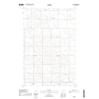
2020 Map of Loma
USGS Topo · Published 2020About this map
Loma sits at the intersection of a rigid grid of Section-line roads in this pocket of North Dakota. The landscape is defined by the high concentration of small, scattered wetlands and prairie potholes that characterize the Red River Valley hinterlands. Toward the northern edge of the township, the Bethel Mennonite Cem serves as a significant marker of the local community's ancestral roots and religious heritage. The map documents a predominantly agricultural geography, where thoroughfares like Loma Rd and 84th St NE link dispersed farmsteads. This 2020 survey provides a precise account of the modern rural infrastructure, showing the persistence of small prairie settlements and the organized land division systems of Township 160 North, Range 61 West and its neighbors.
Find a feature on this map
24 named features on this map. Tap any name to fly to it.
Don’t see what you’re looking for? This feature index may not catch every label — zoom into the map to look around manually.
Map Details
Editions of this 2020 Loma Map
This is the sole edition of this map. No revisions or reprints were ever made.
Other maps of this area

1953 · Devils Lake
USGS Topo · 1:250,000

1956 · Devils Lake
USGS Topo · 1:250,000

1970 · Alsen
USGS Topo · 1:24,000

1970 · Hannah SW
USGS Topo · 1:24,000

1970 · Loma
USGS Topo · 1:24,000

1970 · Alsen SE
USGS Topo · 1:24,000

1970 · Hannah SE
USGS Topo · 1:24,000

1970 · Hampden
USGS Topo · 1:24,000

1970 · Langdon West
USGS Topo · 1:24,000

1972 · Billings Lake
USGS Topo · 1:24,000