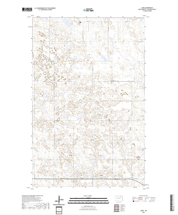
2024 Map of Loma
USGS Topo · Published 2024About this map
The prairie landscape of Cavalier County is defined by a grid of agricultural roads and scattered wetlands, as seen in this contemporary map centered on Loma. Located at the southern end of the quadrangle, the small settlement of Loma serves as a hub for the surrounding township sections, which are meticulously divided by routes like Loma Rd and 84th St NE. The area is notably shaped by federal conservation efforts, with significant tracts of land designated as the Cavalier County Waterfowl Production Area and the Cavalier County WPA, highlighting the importance of the region's pothole lakes for local wildlife. For those exploring family ties or local history, the Bethel Mennonite Cem stands at the northern edge, providing a precise genealogical anchor for the Mennonite heritage within this rural North Dakota community.
Find a feature on this map
29 named features on this map. Tap any name to fly to it.
Don’t see what you’re looking for? This feature index may not catch every label — zoom into the map to look around manually.
Map Details
Editions of this 2024 Loma Map
This is the sole edition of this map. No revisions or reprints were ever made.
Other maps of this area

1953 · Devils Lake
USGS Topo · 1:250,000

1956 · Devils Lake
USGS Topo · 1:250,000

1970 · Alsen
USGS Topo · 1:24,000

1970 · Hannah SW
USGS Topo · 1:24,000

1970 · Loma
USGS Topo · 1:24,000

1970 · Alsen SE
USGS Topo · 1:24,000

1970 · Hannah SE
USGS Topo · 1:24,000

1970 · Hampden
USGS Topo · 1:24,000

1970 · Langdon West
USGS Topo · 1:24,000

1972 · Billings Lake
USGS Topo · 1:24,000