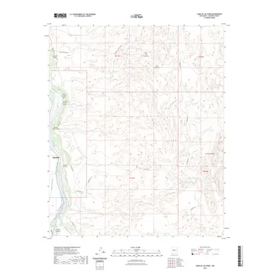
2023 Map of Loma De Las Canas
USGS Topo · Published 2023About this map
The eastern edge of Socorro and the complex hydrology of the Rio Grande valley dominate this landscape. The river corridor is defined by engineered water management features including the Socorro Main Canal, the Rio Grande Main Conveyance Channel, and the Brown Interior Drain, illustrating the critical role of irrigation and flood control in the region. East of the river, the terrain rises sharply into the arid uplands of the Cerros de Amado and Loma de la Cañas. This rugged interior is marked by numerous seasonal drainage channels such as Arroyo del Coyote and Arroyo de los Pinos, along with traditional water sources like Ojo de las Cañas and Ojo de Amado. Evidence of historical industry is found at the Minas del Chupadero, while names like Ojo del Rancho de Lopez suggest long-standing land use by local families.
Find a feature on this map
30 named features on this map. Tap any name to fly to it.
Don’t see what you’re looking for? This feature index may not catch every label — zoom into the map to look around manually.
Map Details
Editions of this 2023 Loma De Las Canas Map
This is the sole edition of this map. No revisions or reprints were ever made.
Other maps of this area

1906 · Socorro
USGS Topo · 1:62,500

1916 · La Joya
USGS Topo · 1:125,000

1948 · Carthage
USGS Topo · 1:62,500

1948 · San Antonio
USGS Topo · 1:62,500

1954 · Tularosa
USGS Topo · 1:250,000

1954 · Socorro
USGS Topo · 1:250,000

1958 · Socorro
USGS Topo · 1:250,000

1958 · Tularosa
USGS Topo · 1:250,000

1959 · Loma De Las Canas
USGS Topo · 1:24,000

1959 · Socorro
USGS Topo · 1:24,000