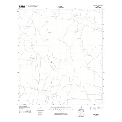
2010 Map of Loma Vista
USGS Topo · Published 2010About this map
Loma Vista and its surrounding ranch lands define this stretch of Zavala County, where the landscape is etched by a complex network of seasonal water sources and ephemeral creeks. The settlement is centered near the Loma Vista Cemetery, positioned along Ranch Rd 1867 south of the prominent Loma Vista Hill. The map documents a classic South Texas ranching environment, punctuated by dozens of named earthen tanks such as Old Zachman Tank, Taquache Tank, and Carmichael Tank, which are vital for livestock in a region characterized by drainage ways like Cibolo Creek and the Leona River.
Find a feature on this map
29 named features on this map. Tap any name to fly to it.
Don’t see what you’re looking for? This feature index may not catch every label — zoom into the map to look around manually.
Map Details
Editions of this 2010 Loma Vista Map
This is the sole edition of this map. No revisions or reprints were ever made.
Other maps of this area

1939 · Big Wells
USGS Topo · 1:62,500

1942 · Divot
USGS Topo · 1:62,500

1953 · Crystal City
USGS Topo · 1:250,000

1955 · Crystal City
USGS Topo · 1:250,000

1956 · Woodward
USGS Topo · 1:62,500

1956 · Divot
USGS Topo · 1:62,500

1957 · Batesville
USGS Topo · 1:62,500

1961 · Crystal City
USGS Topo · 1:250,000

1968 · Crystal City
USGS Topo · 1:250,000
1972 · Batesville
USGS Topo · 1:24,000