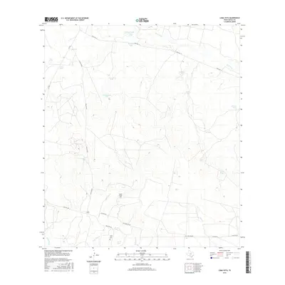
2016 Map of Loma Vista
USGS Topo · Published 2016About this map
Loma Vista serves as the focal point of this arid brush country landscape, where the presence of the Loma Vista Cem provides a vital record for genealogists and local historians. The terrain is defined by a dense network of intermittent water sources and stock tanks, such as Taquache Tank and Old Zachman Tank, which reflect the area's enduring ranching heritage. Significant natural drainage systems including the Leona River, Loma Vista Cr, and Gallina Slough carve through the land, while Loma Vista Hill stands as a prominent landmark. The connectivity of the region is mapped through a series of ranch roads and local routes like Ranch Rd 117 and Los Ninos Rd, illustrating the modern infrastructure supporting these rural South Texas ranchlands.
Find a feature on this map
31 named features on this map. Tap any name to fly to it.
Don’t see what you’re looking for? This feature index may not catch every label — zoom into the map to look around manually.
Map Details
Editions of this 2016 Loma Vista Map
This is the sole edition of this map. No revisions or reprints were ever made.
Other maps of this area

1939 · Big Wells
USGS Topo · 1:62,500

1942 · Divot
USGS Topo · 1:62,500

1953 · Crystal City
USGS Topo · 1:250,000

1955 · Crystal City
USGS Topo · 1:250,000

1956 · Woodward
USGS Topo · 1:62,500

1956 · Divot
USGS Topo · 1:62,500

1957 · Batesville
USGS Topo · 1:62,500

1961 · Crystal City
USGS Topo · 1:250,000

1968 · Crystal City
USGS Topo · 1:250,000
1972 · Batesville
USGS Topo · 1:24,000