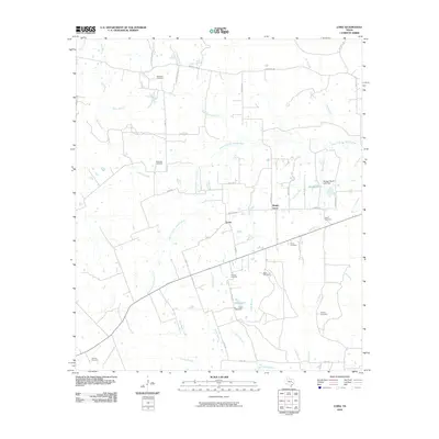
2010 Map of Loma
USGS Topo · Published 2010About this map
The West Fork San Jacinto River winds through this rural Walker County landscape, defining a terrain of creeks and minor branches. The small settlement of Loma serves as a central point, situated near the crossroads of Loma Rd and Morgan Rd. This area is particularly notable for its density of family and community burial grounds, which offer significant value for genealogical research. Sites such as McCowan Cemetery, Mustang Cemetery, and Driscoll Cemetery are scattered across the quadrangle, often located along backroads like Kate Bolden Rd and Hoke 1 Rd.
Find a feature on this map
46 named features on this map. Tap any name to fly to it.
Don’t see what you’re looking for? This feature index may not catch every label — zoom into the map to look around manually.
Map Details
Editions of this 2010 Loma Map
This is the sole edition of this map. No revisions or reprints were ever made.
Other maps of this area

1954 · Beaumont
USGS Topo · 1:250,000

1957 · Beaumont
USGS Topo · 1:250,000

1959 · San Jacinto
USGS Topo · 1:24,000

1961 · Singleton
USGS Topo · 1:24,000

1962 · Richards
USGS Topo · 1:24,000
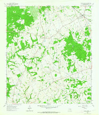
1962 · Roans Prairie
USGS Topo · 1:24,000

1962 · Galilee
USGS Topo · 1:24,000

1963 · Bedias
USGS Topo · 1:24,000

1963 · Steep Branch
USGS Topo · 1:24,000

1963 · Crabbs Prairie
USGS Topo · 1:24,000