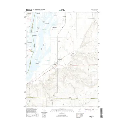
2015 Map of Lomax
USGS Topo · Published 2015About this map
Lomax occupies the eastern bank of the Mississippi River at the intersection of riverine commerce and the interior prairie. The landscape is defined by the braided channels and islands of the great river, including Burlington Island, Clifford Island, and Turkey Island, which are separated by a complex network of sloughs and chutes like Shokokon Slough and Turkey Chute. To the east, the terrain rises toward Gittings Mound, where the drainage of Dugout Cr and Honey Cr carves through the Henderson County uplands.
Find a feature on this map
58 named features on this map. Tap any name to fly to it.
Don’t see what you’re looking for? This feature index may not catch every label — zoom into the map to look around manually.
Map Details
Editions of this 2015 Lomax Map
This is the sole edition of this map. No revisions or reprints were ever made.
Other maps of this area

1918 · La Harpe
USGS Topo · 1:62,500

1932 · Lomax
USGS Topo · 1:62,500

1934 · Oquawka
USGS Topo · 1:48,000

1934 · Burlington
USGS Topo · 1:48,000

1937 · Lomax
USGS Topo · 1:62,500

1940 · Oquawka
USGS Topo · 1:62,500

1940 · Burlington
USGS Topo · 1:62,500

1958 · Burlington
USGS Topo · 1:250,000

1961 · Burlington
USGS Topo · 1:250,000

1963 · Burlington
USGS Topo · 1:250,000