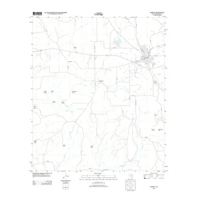
2012 Map of Lometa
USGS Topo · Published 2012About this map
Lometa serves as the primary hub of this Central Texas landscape, organized around a dense grid of streets including W Main St and E Railway St. The town's historical roots are visible in the nearby Senterfitt area and the Long Cove Cem, while the modern community is supported by the Lometa Reservoir and Lometa Air Strip. Outside the town center, the terrain is defined by a network of drainage systems like McAnelly Cr and Kirby Cr, alongside named draws such as Rattlesnake Draw. The landscape rises to prominent elevations at Messanger Mtn and Grassy Knob. This 2012 survey illustrates the transition from the town's early railroad-centric layout to a region dominated by ranching and rural development, punctuated by vital water sources like Panther Spring and Jennings Springs.
Find a feature on this map
66 named features on this map. Tap any name to fly to it.
Don’t see what you’re looking for? This feature index may not catch every label — zoom into the map to look around manually.
Map Details
Editions of this 2012 Lometa Map
This is the sole edition of this map. No revisions or reprints were ever made.
Other maps of this area

1885 · San Saba
USGS Topo · 1:125,000

1887 · Lampasas
USGS Topo · 1:125,000

1894 · Lampasas
USGS Topo · 1:125,000

1894 · San Saba
USGS Topo · 1:125,000

1925 · San Saba 4-a
USGS Topo · 1:48,000

1925 · San Saba 1-d
USGS Topo · 1:48,000

1928 · Goldthwaite
USGS Topo · 1:62,500

1931 · Bend
USGS Topo · 1:62,500

1948 · Goldthwaite
USGS Topo · 1:62,500
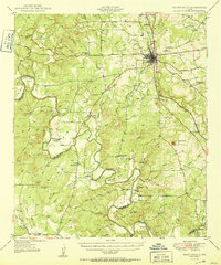
1950 · Goldthwaite
USGS Topo · 1:62,500