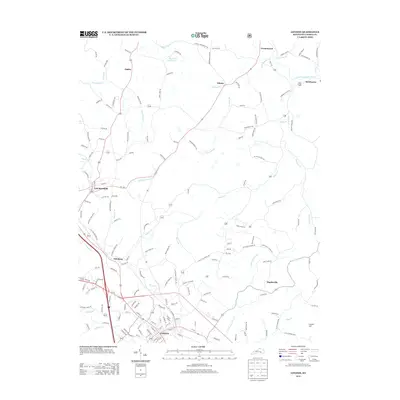
2013 Map of London
USGS Topo · Published 2013About this map
London serves as the primary urban center for this portion of Laurel County, anchoring a landscape where small settlements like East Bernstadt and Pittsburg trace the historic corridors of movement. The terrain is defined by a dense network of watercourses, including the Little Laurel River and the S Fork Rockcastle River, which have historically shaped the local geography and land use. Rural communities such as Oakley, Atlanta, and Maplesville are connected by a web of local roads, including Old Crab Orchard Rd and Pittsburg School Rd, reflecting the area's development from early Kentucky thoroughfares. In the north, the Reynolds Circle Lake and features like Hazel Patch Creek provide clear markers for family researchers tracking ancestral land tracts near Greenmount and McWhorter.
Find a feature on this map
161 named features on this map. Tap any name to fly to it.
Don’t see what you’re looking for? This feature index may not catch every label — zoom into the map to look around manually.
Map Details
Editions of this 2013 London Map
This is the sole edition of this map. No revisions or reprints were ever made.
Other maps of this area

1891 · Manchester
USGS Topo · 1:125,000

1893 · London
USGS Topo · 1:125,000

1897 · London
USGS Topo · 1:125,000

1952 · Portersburg
USGS Topo · 1:24,000

1952 · Blackwater
USGS Topo · 1:24,000

1952 · Lily
USGS Topo · 1:24,000

1952 · London SW
USGS Topo · 1:24,000

1952 · Bernstadt
USGS Topo · 1:24,000

1952 · London
USGS Topo · 1:24,000

1953 · Livingston
USGS Topo · 1:24,000