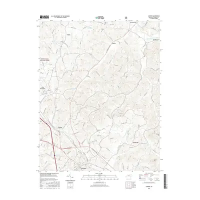
2016 Map of London
USGS Topo · Published 2016About this map
London serves as the regional hub at the southern edge of this survey, where the urban grid gives way to the complex ridge-and-valley terrain of the Daniel Boone National Forest. The landscape is defined by an intricate network of watercourses, including the South Fork Rockcastle River and the Little Laurel River, which have shaped the settlement patterns of outlying communities like East Bernstadt and Pittsburg. Family history and local heritage are preserved in numerous hilltop burial grounds, such as Mount Pleasant Cem, Litton Cem, and Old Salem Cem, often located near crossroads and old farmsteads. The transition from the developed corridors near Maplesville to the higher elevations of Raccoon Mtn illustrates the persistent relationship between the area's geology and its residential expansion during the mid-2010s.
Find a feature on this map
131 named features on this map. Tap any name to fly to it.
Don’t see what you’re looking for? This feature index may not catch every label — zoom into the map to look around manually.
Map Details
Editions of this 2016 London Map
This is the sole edition of this map. No revisions or reprints were ever made.
Other maps of this area

1891 · Manchester
USGS Topo · 1:125,000

1893 · London
USGS Topo · 1:125,000

1897 · London
USGS Topo · 1:125,000

1952 · Portersburg
USGS Topo · 1:24,000

1952 · Blackwater
USGS Topo · 1:24,000

1952 · Lily
USGS Topo · 1:24,000

1952 · London SW
USGS Topo · 1:24,000

1952 · Bernstadt
USGS Topo · 1:24,000

1952 · London
USGS Topo · 1:24,000

1953 · Livingston
USGS Topo · 1:24,000