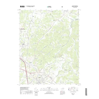
2019 Map of London
USGS Topo · Published 2019About this map
London and the surrounding Laurel County landscape are defined by a complex network of ridgeline roads and winding hollows in this 2019 survey. The northern reaches of the city extend toward the community of Pittsburg, where the L & N RR corridor parallels the historic Old Richmond Road. The topography is shaped by significant water systems, including the headwaters of Wood Cr and the drainage of Little Laurel River, while the western edge of the sheet enters the protected timberlands of the Daniel Boone National Forest. To the northeast, small agricultural and residential settlements like McWhorter and Atlanta are connected by a dense web of secondary routes. Genealogists will find numerous family and community burial sites such as Moren Cem, Southard Cem, and Landrum Cem scattered across the upland plateaus, providing a clear record of local settlement patterns.
Find a feature on this map
177 named features on this map. Tap any name to fly to it.
Don’t see what you’re looking for? This feature index may not catch every label — zoom into the map to look around manually.
Map Details
Editions of this 2019 London Map
This is the sole edition of this map. No revisions or reprints were ever made.
Other maps of this area

1891 · Manchester
USGS Topo · 1:125,000

1893 · London
USGS Topo · 1:125,000

1897 · London
USGS Topo · 1:125,000

1952 · Portersburg
USGS Topo · 1:24,000

1952 · Blackwater
USGS Topo · 1:24,000

1952 · Lily
USGS Topo · 1:24,000

1952 · London SW
USGS Topo · 1:24,000

1952 · Bernstadt
USGS Topo · 1:24,000

1952 · London
USGS Topo · 1:24,000

1953 · Livingston
USGS Topo · 1:24,000