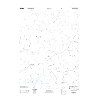
2013 Map of London SW
USGS Topo · Published 2013About this map
Keavy and Hightop serve as the primary focal points in this 2013 survey of southwestern Laurel County, situated where the rolling plateau begins its descent toward the deeply incised drainage of the Laurel River. The landscape is defined by an intricate network of waterways including Sinking Cr, Cane Cr, and Powder Mill Cr, many of which feed into the northern arms of Laurel River Lake. This era shows a community defined by its proximity to the water and the Daniel Boone National Forest, with the Bald Rock Lookout Tower and Bald Rock Picnic Area marking significant local landmarks. The road network, including names like Sinking Creek Rd and Reed Valley Rd, reflects a pattern of rural settlement and forest management, while the settlement of Bunch remains a quiet point of interest in the northwestern reaches of the quadrangle.
Find a feature on this map
82 named features on this map. Tap any name to fly to it.
Don’t see what you’re looking for? This feature index may not catch every label — zoom into the map to look around manually.
Map Details
Editions of this 2013 London SW Map
This is the sole edition of this map. No revisions or reprints were ever made.
Other maps of this area

1890 · Williamsburg
USGS Topo · 1:125,000

1893 · London
USGS Topo · 1:125,000

1894 · Williamsburg
USGS Topo · 1:125,000

1897 · London
USGS Topo · 1:125,000

1952 · Corbin
USGS Topo · 1:24,000

1952 · Lily
USGS Topo · 1:24,000

1952 · London SW
USGS Topo · 1:24,000

1952 · Vox
USGS Topo · 1:24,000

1952 · Billows
USGS Topo · 1:24,000

1952 · Ano
USGS Topo · 1:24,000