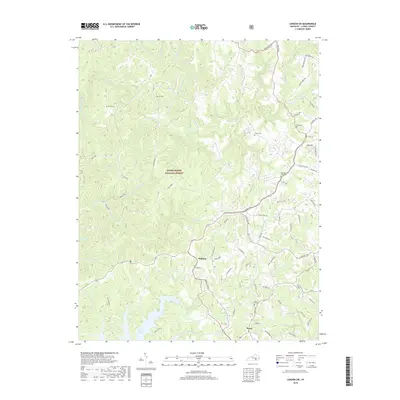
2019 Map of London SW
USGS Topo · Published 2019About this map
Keavy and Hightop anchor this portion of Laurel County, where the plateau landscape is deeply incised by the drainage systems of the Laurel River Lake and Sinking Creek. The terrain is characterized by prominent elevations such as Fishtrap Ridge and Dog Divide, much of which is contained within the Daniel Boone National Forest. This modern record of the landscape reveals a dense network of rural roads following the winding ridge lines and creek bottoms, including Keavy Road and West Laurel Road.
Find a feature on this map
88 named features on this map. Tap any name to fly to it.
Don’t see what you’re looking for? This feature index may not catch every label — zoom into the map to look around manually.
Map Details
Editions of this 2019 London SW Map
This is the sole edition of this map. No revisions or reprints were ever made.
Other maps of this area

1890 · Williamsburg
USGS Topo · 1:125,000

1893 · London
USGS Topo · 1:125,000

1894 · Williamsburg
USGS Topo · 1:125,000

1897 · London
USGS Topo · 1:125,000

1952 · Corbin
USGS Topo · 1:24,000

1952 · Lily
USGS Topo · 1:24,000

1952 · London SW
USGS Topo · 1:24,000

1952 · Vox
USGS Topo · 1:24,000

1952 · Billows
USGS Topo · 1:24,000

1952 · Ano
USGS Topo · 1:24,000