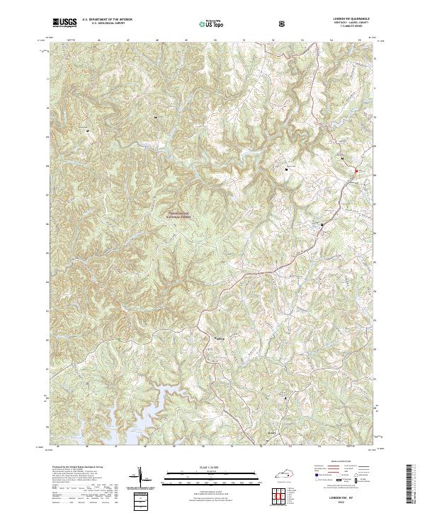
2022 Map of London SW
USGS Topo · Published 2022About this map
The Daniel Boone National Forest dominates much of this landscape in Laurel County, encompassing a network of ridges and narrow creek valleys. Settlements like Keavy, Hightop, and Cold Hill are situated along the more developed ridges, where the terrain levels out enough for residential and agricultural use. The area is deeply dissected by water, with Sinking Cr and Cane Creek carving out the geography between major landmarks such as Fishtrap Ridge and Dog Divide.
Find a feature on this map
89 named features on this map. Tap any name to fly to it.
Don’t see what you’re looking for? This feature index may not catch every label — zoom into the map to look around manually.
Map Details
Editions of this 2022 London SW Map
This is the sole edition of this map. No revisions or reprints were ever made.
Other maps of this area

1890 · Williamsburg
USGS Topo · 1:125,000

1893 · London
USGS Topo · 1:125,000

1894 · Williamsburg
USGS Topo · 1:125,000

1897 · London
USGS Topo · 1:125,000

1952 · Corbin
USGS Topo · 1:24,000

1952 · Lily
USGS Topo · 1:24,000

1952 · London SW
USGS Topo · 1:24,000

1952 · Vox
USGS Topo · 1:24,000

1952 · Billows
USGS Topo · 1:24,000

1952 · Ano
USGS Topo · 1:24,000