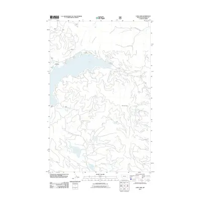
2011 Map of Lone Lake
USGS Topo · Published 2011About this map
Ashley Lake and its intricate shoreline dominate this portion of the Flathead National Forest, shown here as it appeared in the early 21st century. The landscape is defined by its complex hydrography, where the Ashley Dam regulates the outflow into Ashley Creek, while smaller alpine water bodies like Lone Lake and Lake Monroe sit tucked within the higher elevations. The topography is anchored by Boorman Peak, which overlooks a network of timber and access roads including Hodge Creek Rd and the Natl Forest Develop Road 2978 Rd.
Find a feature on this map
20 named features on this map. Tap any name to fly to it.
Don’t see what you’re looking for? This feature index may not catch every label — zoom into the map to look around manually.
Map Details
Editions of this 2011 Lone Lake Map
This is the sole edition of this map. No revisions or reprints were ever made.
Other maps of this area

1943 · Kalispell
USGS Topo · 1:125,000

1957 · Kalispell
USGS Topo · 1:250,000

1960 · Kalispell
USGS Topo · 1:250,000

1961 · Kalispell
USGS Topo · 1:250,000

1962 · Kila
USGS Topo · 1:24,000

1962 · Blue Grass Ridge
USGS Topo · 1:24,000

1962 · Lost Creek Divide
USGS Topo · 1:24,000

1962 · Ashley Mountain
USGS Topo · 1:24,000

1962 · Rhodes
USGS Topo · 1:24,000
1964 · Lone Lake
USGS Topo · 1:24,000