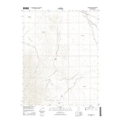
2014 Map of Lone Mountain
USGS Topo · Published 2014About this map
Lone Mtn rises from the desert floor in this high-altitude corner of Esmeralda County, anchoring a landscape shaped by arid washes and seasonal water sources. The transition from the Big Smoky Valley in the northwest to the Ralston Desert in the southeast is marked by significant elevation changes, particularly through the corridors of Springdale Canyon and Paymaster Canyon. Small pockets of relief appear at Millers Pond and established watering points like Lobo Spring and Willow Spring.
Find a feature on this map
15 named features on this map. Tap any name to fly to it.
Don’t see what you’re looking for? This feature index may not catch every label — zoom into the map to look around manually.
Map Details
Editions of this 2014 Lone Mountain Map
This is the sole edition of this map. No revisions or reprints were ever made.
Other maps of this area

1898 · Silver Peak
USGS Topo · 1:125,000

1900 · Silver Peak
USGS Topo · 1:125,000

1907 · Tonopah
USGS Topo · 1:250,000

1908 · Lida
USGS Topo · 1:250,000

1908 · Tonopah
USGS Topo · 1:250,000

1913 · Lida
USGS Topo · 1:250,000

1945 · Goldfield
USGS Topo · 1:125,000

1954 · Goldfield
USGS Topo · 1:250,000

1955 · Goldfield
USGS Topo · 1:250,000

1956 · Tonopah
USGS Topo · 1:250,000