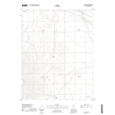
2018 Map of Lone Mountain
USGS Topo · Published 2018About this map
Lone Mtn dominates the southwestern corner of this desert landscape, rising sharply from the surrounding terrain. The map traces a network of ephemeral water sources and drainage features including Lobo Spring, Willow Spring, and the northern reach of Springdale Canyon. These points of relief were essential to the early development of Esmeralda County, providing necessary stops for travel through the arid environment.
Find a feature on this map
15 named features on this map. Tap any name to fly to it.
Don’t see what you’re looking for? This feature index may not catch every label — zoom into the map to look around manually.
Map Details
Editions of this 2018 Lone Mountain Map
This is the sole edition of this map. No revisions or reprints were ever made.
Other maps of this area

1898 · Silver Peak
USGS Topo · 1:125,000

1900 · Silver Peak
USGS Topo · 1:125,000

1907 · Tonopah
USGS Topo · 1:250,000

1908 · Lida
USGS Topo · 1:250,000

1908 · Tonopah
USGS Topo · 1:250,000

1913 · Lida
USGS Topo · 1:250,000

1945 · Goldfield
USGS Topo · 1:125,000

1954 · Goldfield
USGS Topo · 1:250,000

1955 · Goldfield
USGS Topo · 1:250,000

1956 · Tonopah
USGS Topo · 1:250,000