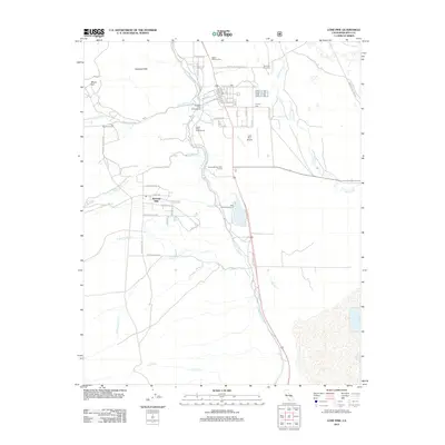
2012 Map of Lone Pine
USGS Topo · Published 2012About this map
The Alabama Hills dominate the western landscape of this Owens Valley study, where the town of Lone Pine serves as a gateway to the high Sierra. The complex water management history of the region is etched into the terrain by the Los Angeles Aqueduct, which parallels the Owens River to the east. Local history is deeply rooted in the town's perimeter, evidenced by three distinct burial sites: Old Lone Pine Cem, Pioneer Cem, and Mount Whitney Cem.
Find a feature on this map
54 named features on this map. Tap any name to fly to it.
Don’t see what you’re looking for? This feature index may not catch every label — zoom into the map to look around manually.
Map Details
Editions of this 2012 Lone Pine Map
This is the sole edition of this map. No revisions or reprints were ever made.
Other maps of this area
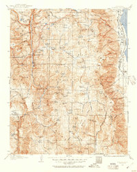
1905 · Olancha
USGS Topo · 1:125,000
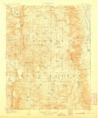
1907 · Olancha
USGS Topo · 1:125,000
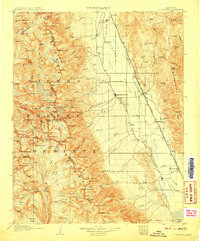
1907 · Mt. Whitney
USGS Topo · 1:125,000
1908 · Ballarat
USGS Topo · 1:250,000
1913 · Ballarat
USGS Topo · 1:250,000
1919 · Mt. Whitney
USGS Topo · 1:125,000
1937 · Mt. Whitney
USGS Topo · 1:125,000
1948 · Death Valley
USGS Topo · 1:250,000

1948 · Fresno
USGS Topo · 1:250,000
1950 · New York Butte
USGS Topo · 1:62,500