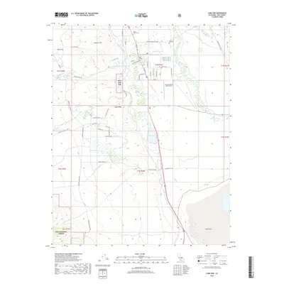
2018 Map of Lone Pine
USGS Topo · Published 2018About this map
Lone Pine serves as the gateway to the high Eastern Sierra, where the jagged eastern face of the Sierra Nevada meets the high desert floor. The town's grid is dominated by S Main St and Whitney Portal Rd, which leads toward the highest peaks. To the west, the geologically distinct Alabama Hills and the iconic Movie Flat landscape show the complex terrain that has long served as a backdrop for the film industry. Genealogists will find three distinct burial sites: Mount Whitney Cem, the Old Lone Pine Cem, and Pioneer Cem situated near the town center.
Find a feature on this map
60 named features on this map. Tap any name to fly to it.
Don’t see what you’re looking for? This feature index may not catch every label — zoom into the map to look around manually.
Map Details
Editions of this 2018 Lone Pine Map
This is the sole edition of this map. No revisions or reprints were ever made.
Other maps of this area

1905 · Olancha
USGS Topo · 1:125,000

1907 · Olancha
USGS Topo · 1:125,000

1907 · Mt. Whitney
USGS Topo · 1:125,000

1908 · Ballarat
USGS Topo · 1:250,000

1913 · Ballarat
USGS Topo · 1:250,000

1919 · Mt. Whitney
USGS Topo · 1:125,000

1937 · Mt. Whitney
USGS Topo · 1:125,000

1948 · Death Valley
USGS Topo · 1:250,000

1948 · Fresno
USGS Topo · 1:250,000

1950 · New York Butte
USGS Topo · 1:62,500