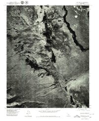
1975 Map of Lone Pine SE
USGS Topo · Published 1979About this map
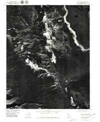
Lone Pine sits at the foot of the Eastern Sierra in this 1975 orthophotograph, providing a stark visual record of the high-desert landscape and human engineering. The most prominent feature on this sheet is the Los Angeles Aqueduct, which winds its way southward through the valley floor, carrying water far beyond the region. The aerial imagery captures the grid of the settlement against the alluvial fans, highlighting the contrast between the concentrated town site and the surrounding arid basin. To the southeast, the expanse of Owens Lake dominates the frame, appearing here as a largely dry bed. The map serves as a primary source for understanding the mid-1970s land use and water management infrastructure that has fundamentally shaped Inyo County history.
Find a feature on this map
3 named features on this map. Tap any name to fly to it.
Don’t see what you’re looking for? This feature index may not catch every label — zoom into the map to look around manually.
Map Details
Editions of this 1975 Lone Pine SE Map
2 editions found
Other maps of this area

1905 · Olancha
USGS Topo · 1:125,000

1907 · Olancha
USGS Topo · 1:125,000

1907 · Mt. Whitney
USGS Topo · 1:125,000

1908 · Ballarat
USGS Topo · 1:250,000

1913 · Ballarat
USGS Topo · 1:250,000

1919 · Mt. Whitney
USGS Topo · 1:125,000

1937 · Mt. Whitney
USGS Topo · 1:125,000

1948 · Death Valley
USGS Topo · 1:250,000

1948 · Fresno
USGS Topo · 1:250,000

1950 · New York Butte
USGS Topo · 1:62,500