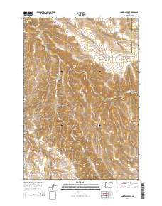
2014 Map of Lone Rock Creek
USGS Topo · Published 2014About this map
Lone Rock Creek carves a deep path through the high plateau of Gilliam County in this 2014 survey. The landscape is defined by its dramatic vertical relief, where several major drainage systems converge, including the Needle Fork and the Lub Fork. These waterways have sculpted a series of prominent features such as McPherson Canyon and Billy Canyon, illustrating the erosive power of these seasonal forks over millennia.
Find a feature on this map
22 named features on this map. Tap any name to fly to it.
Don’t see what you’re looking for? This feature index may not catch every label — zoom into the map to look around manually.
Map Details
Editions of this 2014 Lone Rock Creek Map
This is the sole edition of this map. No revisions or reprints were ever made.
Other maps of this area

1916 · Condon
USGS Topo · 1:125,000

1953 · Pendleton
USGS Topo · 1:250,000

1953 · The Dalles
USGS Topo · 1:250,000

1956 · The Dalles
USGS Topo · 1:250,000

1956 · Pendleton
USGS Topo · 1:250,000

1957 · The Dalles
USGS Topo · 1:250,000

1968 · Gooseberry
USGS Topo · 1:24,000

1968 · Eightmile
USGS Topo · 1:24,000

1969 · Lefevre Prairie
USGS Topo · 1:24,000

1969 · Buttermilk Canyon
USGS Topo · 1:24,000