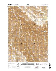
2017 Map of Lone Rock Creek
USGS Topo · Published 2017About this map
Lone Rock Creek carves through this high-elevation landscape along the border of Gilliam and Morrow counties. The terrain is defined by a series of deep drainages including McPherson Canyon and Sweetmilk Canyon, which feed into the larger water systems of the Columbia River basin. At Pine Ridge, the elevation reaches its peak near the southern edge of the map, overlooking the headwaters of the Needle Fork.
Find a feature on this map
24 named features on this map. Tap any name to fly to it.
Don’t see what you’re looking for? This feature index may not catch every label — zoom into the map to look around manually.
Map Details
Editions of this 2017 Lone Rock Creek Map
This is the sole edition of this map. No revisions or reprints were ever made.
Other maps of this area

1916 · Condon
USGS Topo · 1:125,000

1953 · Pendleton
USGS Topo · 1:250,000

1953 · The Dalles
USGS Topo · 1:250,000

1956 · The Dalles
USGS Topo · 1:250,000

1956 · Pendleton
USGS Topo · 1:250,000

1957 · The Dalles
USGS Topo · 1:250,000

1968 · Gooseberry
USGS Topo · 1:24,000

1968 · Eightmile
USGS Topo · 1:24,000

1969 · Lefevre Prairie
USGS Topo · 1:24,000

1969 · Buttermilk Canyon
USGS Topo · 1:24,000