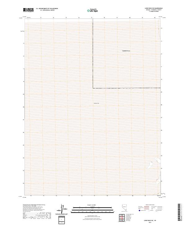
2021 Map of Lone Rock SW
USGS Topo · Published 2021About this map
Carson Sink dominates the arid interior of Churchill County, representing the terminus of the Carson River where water traditionally evaporates in the high desert sun. This 2021 topographic survey focuses on the vast, flat expanse of the playa, a landscape defined by its subtle elevation changes and the legacy of ancient Lake Lahontan. The grid of the Public Land Survey System, including t23n r31e and t23n r32e, provides the only structural markers across this largely featureless terrain. For researchers and geologists, the map documents the modern footprint of one of Nevada's most significant terminal drainage basins, capturing the shifting shoreline and hydrological boundaries of the sink as they existed in the early twenty-first century.
Find a feature on this map
5 named features on this map. Tap any name to fly to it.
Don’t see what you’re looking for? This feature index may not catch every label — zoom into the map to look around manually.
Map Details
Editions of this 2021 Lone Rock SW Map
This is the sole edition of this map. No revisions or reprints were ever made.
Other maps of this area

1908 · Carson Sink
USGS Topo · 1:250,000

1910 · Carson Sink
USGS Topo · 1:250,000

1950 · Stillwater
USGS Topo · 1:62,500

1951 · Carson Sink
USGS Topo · 1:62,500

1957 · Reno
USGS Topo · 1:250,000

1959 · Reno
USGS Topo · 1:250,000

1960 · Reno
USGS Topo · 1:250,000
1969 · Lone Rock SW
USGS Topo · 1:24,000

1969 · Cox Canyon
USGS Topo · 1:24,000

1969 · Pintail Bay
USGS Topo · 1:24,000