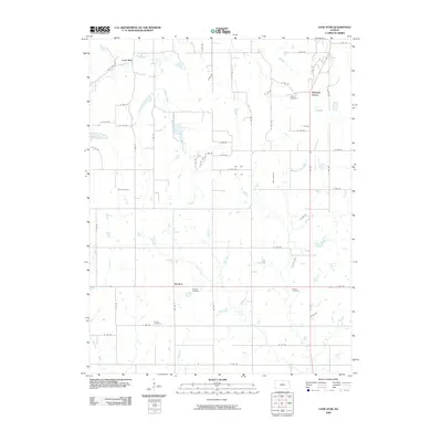
2009 Map of Lone Star
USGS Topo · Published 2009About this map
Washington Creek and Chicken Creek flow through this section of Douglas County, defining a rural landscape shaped by long-standing agricultural communities. Small settlements like Lone Star in the northwest and Worden along the southern edge anchor the area, connected by a precise grid of county roads. The density of burial grounds, including Colyer Cemetery, Bethel Cemetery, and Flory Cemetery, provides significant genealogical touchpoints for the region's family histories.
Find a feature on this map
59 named features on this map. Tap any name to fly to it.
Don’t see what you’re looking for? This feature index may not catch every label — zoom into the map to look around manually.
Map Details
Editions of this 2009 Lone Star Map
This is the sole edition of this map. No revisions or reprints were ever made.
Other maps of this area

1885 · Lawrence
USGS Topo · 1:125,000

1889 · Lawrence
USGS Topo · 1:125,000

1947 · Lawrence
USGS Topo · 1:250,000

1950 · Lawrence
USGS Topo · 1:250,000
1950 · Lawrence East
USGS Topo · 1:24,000
1950 · Lawrence West
USGS Topo · 1:24,000
1951 · Lawrence West
USGS Topo · 1:24,000
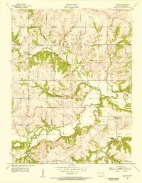
1955 · Clinton
USGS Topo · 1:24,000

1955 · Globe
USGS Topo · 1:24,000

1956 · Ottawa North
USGS Topo · 1:24,000