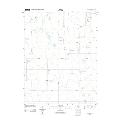
2012 Map of Lone Star
USGS Topo · Published 2012About this map
Worden, Lone Star, and Pleasant Grove anchor this Douglas County landscape, where the agricultural grid of the Kansas plains is etched with a network of local roads and creek drainages. The area is marked by a significant concentration of family and community burial grounds, including Saint Johns Cem, Worden Cem, and Bethel Cem, which provide a geographic foundation for genealogical research. The northern portion of the map is defined by the winding course of Washington Cr and the recreation-centered waters of Lone Star Lake. This 2012 survey also documents a surprising density of small aviation facilities, such as Michael's Airport and Norris Airport, illustrating how private flight integrates into the rural layout. Waterways like W Fork Tauy Cr and Chicken Cr cut across the section lines, shaping the placement of the farms and cemeteries that have defined this region for generations.
Find a feature on this map
71 named features on this map. Tap any name to fly to it.
Don’t see what you’re looking for? This feature index may not catch every label — zoom into the map to look around manually.
Map Details
Editions of this 2012 Lone Star Map
This is the sole edition of this map. No revisions or reprints were ever made.
Other maps of this area

1885 · Lawrence
USGS Topo · 1:125,000

1889 · Lawrence
USGS Topo · 1:125,000

1947 · Lawrence
USGS Topo · 1:250,000

1950 · Lawrence
USGS Topo · 1:250,000
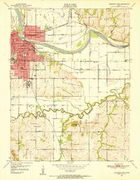
1950 · Lawrence East
USGS Topo · 1:24,000
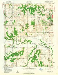
1950 · Lawrence West
USGS Topo · 1:24,000
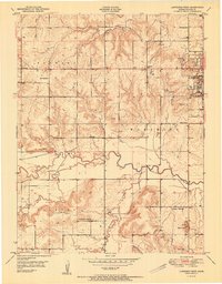
1951 · Lawrence West
USGS Topo · 1:24,000
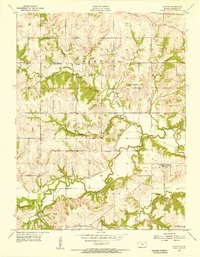
1955 · Clinton
USGS Topo · 1:24,000

1955 · Globe
USGS Topo · 1:24,000

1956 · Ottawa North
USGS Topo · 1:24,000