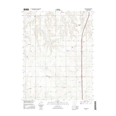
2015 Map of Lone Star
USGS Topo · Published 2015About this map
Lone Star and Worden anchor this rural landscape in Douglas County, defined by a network of drainage creeks and small private airfields. The terrain is bisected by numerous rural routes, with the waters of Washington Cr and Chicken Cr flowing through the northern sections, while Lone Star Lake serves as a prominent water feature in the west.
Find a feature on this map
47 named features on this map. Tap any name to fly to it.
Don’t see what you’re looking for? This feature index may not catch every label — zoom into the map to look around manually.
Map Details
Editions of this 2015 Lone Star Map
This is the sole edition of this map. No revisions or reprints were ever made.
Other maps of this area

1885 · Lawrence
USGS Topo · 1:125,000

1889 · Lawrence
USGS Topo · 1:125,000

1947 · Lawrence
USGS Topo · 1:250,000

1950 · Lawrence
USGS Topo · 1:250,000
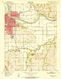
1950 · Lawrence East
USGS Topo · 1:24,000
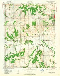
1950 · Lawrence West
USGS Topo · 1:24,000
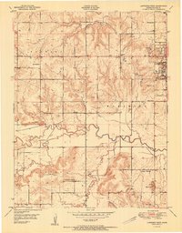
1951 · Lawrence West
USGS Topo · 1:24,000
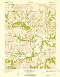
1955 · Clinton
USGS Topo · 1:24,000

1955 · Globe
USGS Topo · 1:24,000

1956 · Ottawa North
USGS Topo · 1:24,000