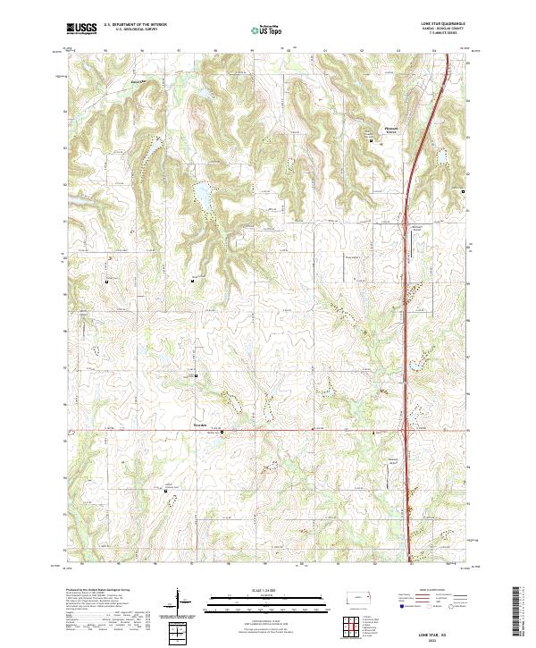
2022 Map of Lone Star
USGS Topo · Published 2022About this map
Lone Star and the surrounding rural townships of Douglas County are defined by a network of seasonal watercourses and upland cemeteries. This 2022 edition documents the quiet persistence of community anchors such as Pleasant Grove and Worden, where local history is preserved in sites like Worden Cem and the Flory-Pleasant Hill Cem. The landscape is etched by the drainage of Washington Cr and Chicken Creek, revealing the intricate topography that has shaped land use and road placement for generations.
Find a feature on this map
71 named features on this map. Tap any name to fly to it.
Don’t see what you’re looking for? This feature index may not catch every label — zoom into the map to look around manually.
Map Details
Editions of this 2022 Lone Star Map
This is the sole edition of this map. No revisions or reprints were ever made.
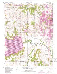
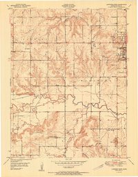
Historical Maps of Lone Star Through Time
12 maps found
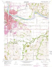
1950 Lawrence East
Douglas County, KS
1950 Lawrence West
Douglas County, KS
1951 Lawrence West
Douglas County, KS
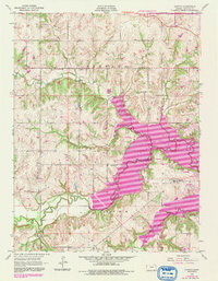
1955 Clinton
Douglas County, KS
1955 Globe
Douglas County, KS
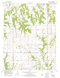
1957 Lone Star
Douglas County, KS
1991 Lawrence West
Douglas County, KS
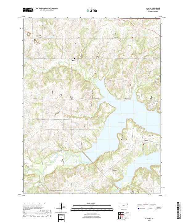
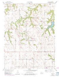
2022 Clinton
Douglas County, KS
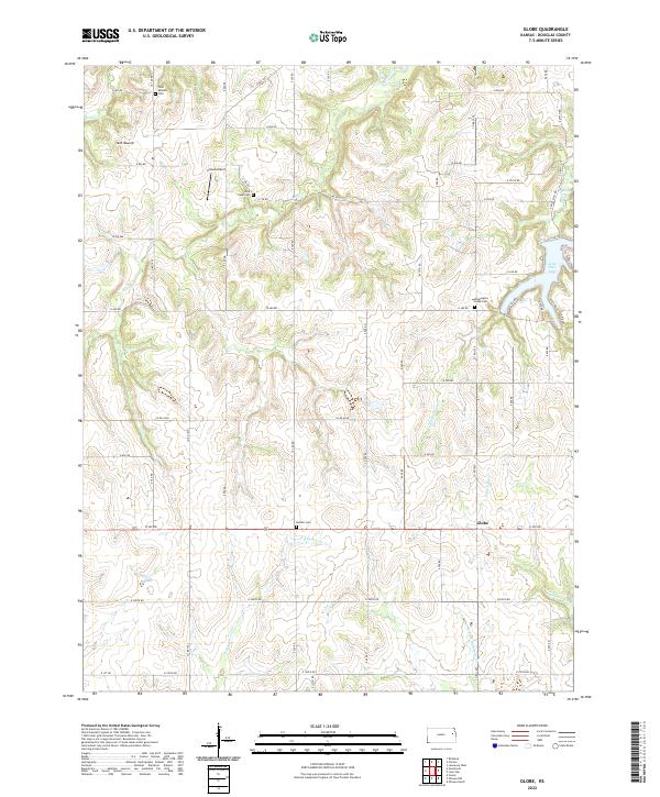
2022 Globe
Douglas County, KS
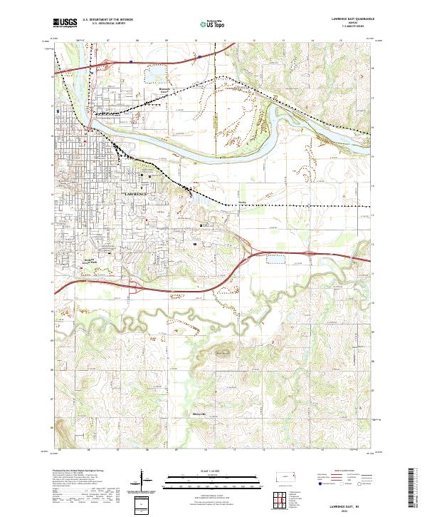
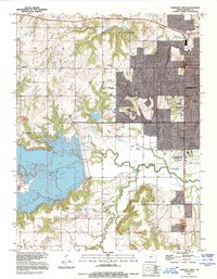
2022 Lawrence East
Douglas County, KS
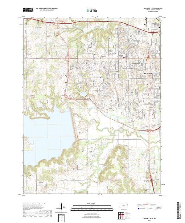
2022 Lawrence West
Douglas County, KS
2022 Lone Star
Douglas County, KS