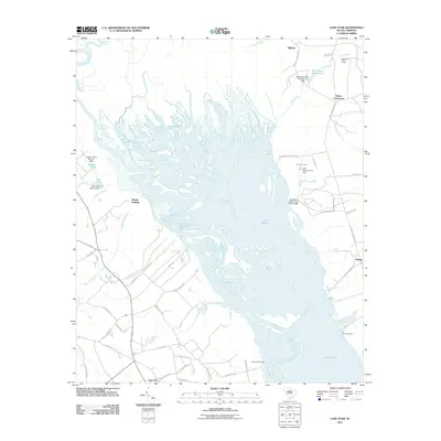
2011 Map of Lone Star
USGS Topo · Published 2011About this map
Lake Marion dominates this central South Carolina landscape, where the confluence of the Wateree River and the Santee River creates a complex network of wetlands and backwaters. The map illustrates a region defined by its relationship with these watercourses, showing how early 21st-century infrastructure manages the environment through structures like the Mill Creek Pond Park Dam and Gadden Pond Dam.
Find a feature on this map
51 named features on this map. Tap any name to fly to it.
Don’t see what you’re looking for? This feature index may not catch every label — zoom into the map to look around manually.
Map Details
Editions of this 2011 Lone Star Map
This is the sole edition of this map. No revisions or reprints were ever made.
Other maps of this area

1943 · Eastover
USGS Topo · 1:62,500

1946 · Elloree
USGS Topo · 1:62,500

1946 · Sumter
USGS Topo · 1:62,500

1953 · Poinsett State Park
USGS Topo · 1:24,000

1953 · Wateree
USGS Topo · 1:24,000

1954 · Augusta
USGS Topo · 1:250,000

1957 · Sumter
USGS Topo · 1:62,500

1957 · Augusta
USGS Topo · 1:250,000

1958 · Augusta
USGS Topo · 1:250,000

1961 · Augusta
USGS Topo · 1:250,000