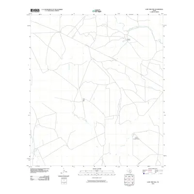
2010 Map of Lone Tree Hill
USGS Topo · Published 2010About this map
Lone Tree Hill rises above a South Texas landscape defined by its vital watercourses and ranching infrastructure during the early 21st century. The drainage patterns of the Frio River and Leona River are central to this section of Zavala County, joined by the winding paths of Liveoak Creek and Elm Creek. Human impact on the hydrology is evidenced by the Garwood Lake Dam situated in the northeast. Transportation throughout the quadrangle relies on a network of established routes including Pearsall Rd, Ranch Rd 140, and Ranch Rd 187, which facilitate movement between the region's expansive grazing lands. The presence of the R and J Livestock Company Airport highlights the specialized requirements of large-scale livestock operations in this territory, where aerial access remains a practical component of modern ranch management.
Find a feature on this map
10 named features on this map. Tap any name to fly to it.
Don’t see what you’re looking for? This feature index may not catch every label — zoom into the map to look around manually.
Map Details
Editions of this 2010 Lone Tree Hill Map
This is the sole edition of this map. No revisions or reprints were ever made.
Other maps of this area

1898 · Uvalde
USGS Topo · 1:125,000

1899 · Uvalde
USGS Topo · 1:125,000

1928 · Frio Town
USGS Topo · 1:62,500

1942 · Divot
USGS Topo · 1:62,500

1953 · Crystal City
USGS Topo · 1:250,000

1954 · San Antonio
USGS Topo · 1:250,000

1955 · Crystal City
USGS Topo · 1:250,000

1956 · Divot
USGS Topo · 1:62,500

1957 · San Antonio
USGS Topo · 1:250,000

1957 · Batesville
USGS Topo · 1:62,500