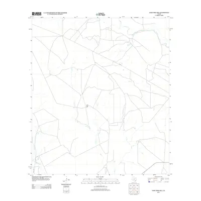
2012 Map of Lone Tree Hill
USGS Topo · Published 2012About this map
Lone Tree Hill serves as the central landmark for this portion of Zavala County, situated amidst a drainage network defined by Liveoak Cr and Elm Cr. The landscape is shaped by the winding path of the Leona River in the southwest corner, where the terrain slopes toward the river bottom. This survey captures a rural Texas landscape structured primarily by ranch roads and state routes, such as FM 140, which cuts across the northern half of the quadrangle. The sparse distribution of named features highlights a region dedicated to open range and agricultural use, where water sources like Liveoak Cr remain the primary geographical anchors for local property divisions and land use patterns.
Find a feature on this map
6 named features on this map. Tap any name to fly to it.
Don’t see what you’re looking for? This feature index may not catch every label — zoom into the map to look around manually.
Map Details
Editions of this 2012 Lone Tree Hill Map
This is the sole edition of this map. No revisions or reprints were ever made.
Other maps of this area

1898 · Uvalde
USGS Topo · 1:125,000

1899 · Uvalde
USGS Topo · 1:125,000

1928 · Frio Town
USGS Topo · 1:62,500

1942 · Divot
USGS Topo · 1:62,500

1953 · Crystal City
USGS Topo · 1:250,000

1954 · San Antonio
USGS Topo · 1:250,000

1955 · Crystal City
USGS Topo · 1:250,000

1956 · Divot
USGS Topo · 1:62,500

1957 · San Antonio
USGS Topo · 1:250,000

1957 · Batesville
USGS Topo · 1:62,500