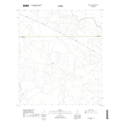
2019 Map of Lone Tree Hill
USGS Topo · Published 2019About this map
Lone Tree Hill serves as a central landmark in this South Texas landscape, situated between the ephemeral drainages of Liveoak Cr and Elm Cr. The map documents the rural boundary between Uvalde County and Zavala County, a region defined by its wide ranching reaches and deep creek beds. The drainage of the Leona River skirts the western edge of the quadrangle, marking the low-lying hydrology typical of this part of the Brush Country.
Find a feature on this map
9 named features on this map. Tap any name to fly to it.
Don’t see what you’re looking for? This feature index may not catch every label — zoom into the map to look around manually.
Map Details
Editions of this 2019 Lone Tree Hill Map
This is the sole edition of this map. No revisions or reprints were ever made.
Other maps of this area

1898 · Uvalde
USGS Topo · 1:125,000

1899 · Uvalde
USGS Topo · 1:125,000

1928 · Frio Town
USGS Topo · 1:62,500

1942 · Divot
USGS Topo · 1:62,500

1953 · Crystal City
USGS Topo · 1:250,000

1954 · San Antonio
USGS Topo · 1:250,000

1955 · Crystal City
USGS Topo · 1:250,000

1956 · Divot
USGS Topo · 1:62,500

1957 · San Antonio
USGS Topo · 1:250,000

1957 · Batesville
USGS Topo · 1:62,500