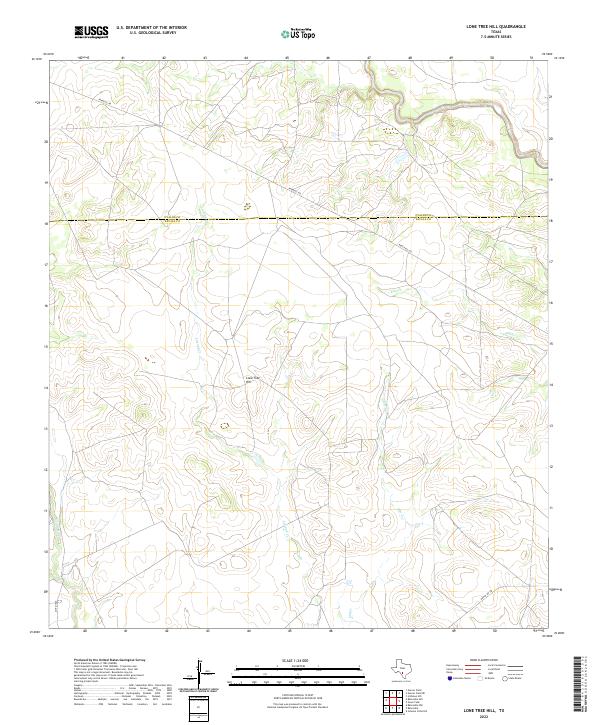
2022 Map of Lone Tree Hill
USGS Topo · Published 2022About this map
The brush-country landscape along the Uvalde and Zavala County border comes into focus on this recent topographic study. The area is defined by the significant drainage systems of Liveoak Cr and Elm Cr, which feed into the Leona River at the western edge of the quadrangle. These watercourses have long dictated the movement and land use in this arid portion of South Texas, as seen in the sparse network of rural roads that navigate the terrain.
Find a feature on this map
9 named features on this map. Tap any name to fly to it.
Don’t see what you’re looking for? This feature index may not catch every label — zoom into the map to look around manually.
Map Details
Editions of this 2022 Lone Tree Hill Map
This is the sole edition of this map. No revisions or reprints were ever made.
Other maps of this area

1898 · Uvalde
USGS Topo · 1:125,000

1899 · Uvalde
USGS Topo · 1:125,000

1928 · Frio Town
USGS Topo · 1:62,500

1942 · Divot
USGS Topo · 1:62,500

1953 · Crystal City
USGS Topo · 1:250,000

1954 · San Antonio
USGS Topo · 1:250,000

1955 · Crystal City
USGS Topo · 1:250,000

1956 · Divot
USGS Topo · 1:62,500

1957 · San Antonio
USGS Topo · 1:250,000

1957 · Batesville
USGS Topo · 1:62,500