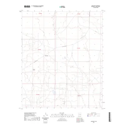
2023 Map of Lone Wolf
USGS Topo · Published 2023About this map
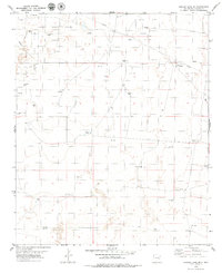
Lone Wolf serves as the central point of interest in this section of Chaves County, situated within a vast grid of township and range divisions. The landscape is defined by its gradual elevation changes and essential water management features like North Tank, which are critical in this arid environment. The most prominent geographic landmark, Railroad Mountain, rises above the surrounding plains and is flanked by its namesake thoroughfare, Railroad Mountain Rd.
Find a feature on this map
13 named features on this map. Tap any name to fly to it.
Don’t see what you’re looking for? This feature index may not catch every label — zoom into the map to look around manually.
Map Details
Editions of this 2023 Lone Wolf Map
This is the sole edition of this map. No revisions or reprints were ever made.
Other maps of this area

1954 · Brownfield
USGS Topo · 1:250,000

1958 · Brownfield
USGS Topo · 1:250,000

1962 · Brownfield
USGS Topo · 1:250,000

1978 · Curlew Lake
USGS Topo · 1:24,000
1978 · Presler Lake
USGS Topo · 1:24,000

1978 · Button Mesa North
USGS Topo · 1:24,000

1979 · Kenna
USGS Topo · 1:24,000
1979 · Kenna SW
USGS Topo · 1:24,000
1979 · Schram Lake
USGS Topo · 1:24,000
1979 · Curlew Lake SE
USGS Topo · 1:24,000