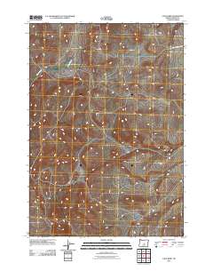
2011 Map of Long Barn
USGS Topo · Published 2011About this map
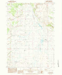
Clover Creek meanders through this high desert terrain in Crook County, providing a critical water source in a landscape defined by its network of drainage systems. This 2011 survey by the U.S. Geological Survey illustrates a sparsely populated region of Oregon where human presence is primarily marked by a grid of unimproved roads and remote corridors. The most prominent thoroughfare, SE Price Twelve Mile Rd, traverses the northeastern section, serving as a primary link through the open range. The map reveals the intricate natural topography of the basin, showing how the land has been shaped by small seasonal watercourses that feed into the larger creek system, highlighting the area's importance for local hydrology and land management.
Find a feature on this map
2 named features on this map. Tap any name to fly to it.
Don’t see what you’re looking for? This feature index may not catch every label — zoom into the map to look around manually.
Map Details
Editions of this 2011 Long Barn Map
This is the sole edition of this map. No revisions or reprints were ever made.
Other maps of this area

1955 · Crescent
USGS Topo · 1:250,000

1957 · Crescent
USGS Topo · 1:250,000

1958 · Crescent
USGS Topo · 1:250,000

1970 · Crescent
USGS Topo · 1:250,000

1983 · Hampton Butte
USGS Topo · 1:24,000
1983 · Gerry Mtn
USGS Topo · 1:24,000

1983 · West of Hampton
USGS Topo · 1:24,000
1983 · Sand Hollow
USGS Topo · 1:24,000
1983 · Hampton
USGS Topo · 1:24,000
1983 · G.I. Ranch
USGS Topo · 1:24,000