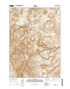
2014 Map of Long Barn
USGS Topo · Published 2014About this map
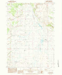
Hampton Buttes dominate the southern landscape of this high desert terrain in Crook County, providing a stark topographical contrast to the drainage of Clover Cr in the north. The area is defined by the expansive public land survey system, with the intersection of several townships including t20s r21e and t21s r22e shaping the administrative geography. In the southwestern corner, the namesake settlement of Long Barn sits at the base of the buttes, representing a quiet pocket of human activity in an otherwise open and undeveloped territory. This 2014 survey captures the persistence of these remote landmarks and the precise grid used to manage this portion of the Oregon interior.
Find a feature on this map
9 named features on this map. Tap any name to fly to it.
Don’t see what you’re looking for? This feature index may not catch every label — zoom into the map to look around manually.
Map Details
Editions of this 2014 Long Barn Map
This is the sole edition of this map. No revisions or reprints were ever made.
Other maps of this area

1955 · Crescent
USGS Topo · 1:250,000

1957 · Crescent
USGS Topo · 1:250,000

1958 · Crescent
USGS Topo · 1:250,000

1970 · Crescent
USGS Topo · 1:250,000

1983 · Hampton Butte
USGS Topo · 1:24,000
1983 · Gerry Mtn
USGS Topo · 1:24,000

1983 · West of Hampton
USGS Topo · 1:24,000
1983 · Sand Hollow
USGS Topo · 1:24,000
1983 · Hampton
USGS Topo · 1:24,000
1983 · G.I. Ranch
USGS Topo · 1:24,000