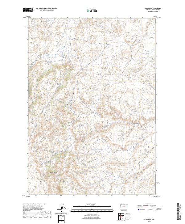
2023 Map of Long Barn
USGS Topo · Published 2023About this map
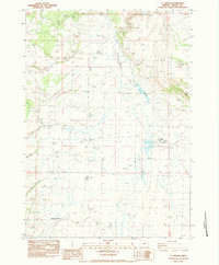
Hampton Buttes anchor the southern reaches of this landscape in Crook County, where the high desert terrain transitions into a series of ridges and named drainage cuts. The presence of Stone House Reservoir suggests a history of water management in a region otherwise characterized by seasonal flows like Clover Creek. Transportation across this upland area is centered on Price-Twelvemile Rd, which threads through the northern sections near Gerry Mtn. The topography is defined by significant erosion patterns, most notably visible in the branching paths of Sears Canyon and New Canyon. This survey captures the land as it remains largely dedicated to open range and natural resource management, reflecting the persistent rural character of Central Oregon.
Find a feature on this map
13 named features on this map. Tap any name to fly to it.
Don’t see what you’re looking for? This feature index may not catch every label — zoom into the map to look around manually.
Map Details
Editions of this 2023 Long Barn Map
This is the sole edition of this map. No revisions or reprints were ever made.
Other maps of this area

1955 · Crescent
USGS Topo · 1:250,000

1957 · Crescent
USGS Topo · 1:250,000

1958 · Crescent
USGS Topo · 1:250,000

1970 · Crescent
USGS Topo · 1:250,000

1983 · Hampton Butte
USGS Topo · 1:24,000
1983 · Gerry Mtn
USGS Topo · 1:24,000

1983 · West of Hampton
USGS Topo · 1:24,000
1983 · Sand Hollow
USGS Topo · 1:24,000
1983 · Hampton
USGS Topo · 1:24,000
1983 · G.I. Ranch
USGS Topo · 1:24,000