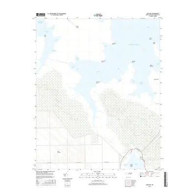
2016 Map of Long Bay
USGS Topo · Published 2016About this map
Long Bay and the surrounding marshlands of Carteret County define this intricate coastal landscape, where land and water dissolve into a complex network of guts and bays. The area is dominated by the Open Grounds to the west and the expansive wetlands surrounding Nelson Bay to the south. This coastal topography is characterized by specific tidal features like Deep Gut, Sanborns Gut, and the larger West Thorofare Bay, which separate prominent landforms such as Cedar Island and Piney Island.
Find a feature on this map
38 named features on this map. Tap any name to fly to it.
Don’t see what you’re looking for? This feature index may not catch every label — zoom into the map to look around manually.
Map Details
Editions of this 2016 Long Bay Map
This is the sole edition of this map. No revisions or reprints were ever made.
Other maps of this area

1948 · North Bay
USGS Topo · 1:24,000

1949 · Atlantic
USGS Topo · 1:24,000

1949 · Styron Bay
USGS Topo · 1:24,000

1949 · Point Of Marsh
USGS Topo · 1:24,000

1949 · Long Bay
USGS Topo · 1:24,000

1949 · Williston
USGS Topo · 1:24,000

1949 · South River
USGS Topo · 1:24,000

1949 · Davis
USGS Topo · 1:24,000

1950 · Long Bay
USGS Topo · 1:24,000

1950 · South River
USGS Topo · 1:24,000