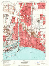
1949 Map of Long Beach
USGS Topo · Published 1951About this map
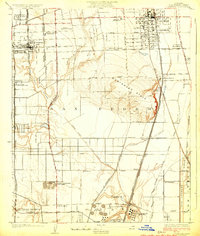
Long Beach and the neighboring hillsides are defined by a landscape of rapid urban expansion and intensive petroleum extraction in the late 1940s. The prominent elevation of Signal Hill is surrounded by a dense concentration of oil wells, oil sumps, and refineries, illustrating the post-war industrial boom that fueled the region's growth. To the south, the city's coastal identity is marked by the distinctive Rainbow Pier and the Municipal Auditorium, while the eastern districts around Lakewood show the emergence of organized residential subdivisions.
Find a feature on this map
142 named features on this map. Tap any name to fly to it.
Don’t see what you’re looking for? This feature index may not catch every label — zoom into the map to look around manually.
Map Details
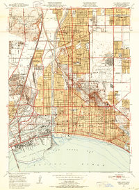
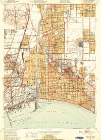
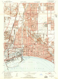
Editions of this 1949 Long Beach Map
4 editions found
Other maps of this area

1896 · Redondo
USGS Topo · 1:62,500

1896 · Las Bolsas
USGS Topo · 1:62,500

1896 · San Pedro
USGS Topo · 1:62,500

1896 · Downey
USGS Topo · 1:62,500

1899 · Downey
USGS Topo · 1:62,500

1901 · Southern California Sheet No. 1
USGS Topo · 1:250,000

1902 · Downey
USGS Topo · 1:62,500

1904 · Southern California Sheet No. 1
USGS Topo · 1:250,000

1923 · Wilmington
USGS Topo · 1:24,000
1924 · Compton
USGS Topo · 1:24,000