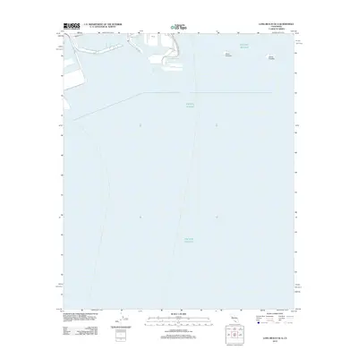
2012 Map of Long Beach OE S
USGS Topo · Published 2012About this map
The San Pedro Bay maritime landscape is defined by the industrial expansion of the port and the artificial islands that break the surface of the Pacific Ocean. This early 21st-century nautical perspective highlights the engineering of the shoreline, featuring specialized maritime districts such as Basin Six and the Southeast Basin. Beyond the piers and the protected waters of the Outer Harbor, the map identifies Island Freeman and Island Chaffee, man-made landforms that serve the region's offshore infrastructure. On land, the transportation network is dominated by harbor-specific logistics routes, including Navy Way, Nimitz Rd, and Harbor Scenic Way, which facilitate movement between the various terminals like Pier J and Pier F.
Find a feature on this map
17 named features on this map. Tap any name to fly to it.
Don’t see what you’re looking for? This feature index may not catch every label — zoom into the map to look around manually.
Map Details
Editions of this 2012 Long Beach OE S Map
This is the sole edition of this map. No revisions or reprints were ever made.
Other maps of this area

1896 · Redondo
USGS Topo · 1:62,500

1896 · Las Bolsas
USGS Topo · 1:62,500

1896 · San Pedro
USGS Topo · 1:62,500

1896 · Downey
USGS Topo · 1:62,500

1899 · Downey
USGS Topo · 1:62,500

1901 · Southern California Sheet No. 1
USGS Topo · 1:250,000

1902 · Downey
USGS Topo · 1:62,500

1904 · Southern California Sheet No. 1
USGS Topo · 1:250,000

1923 · Wilmington
USGS Topo · 1:24,000
1925 · Long Beach
USGS Topo · 1:24,000